Welcome to Confluence Park
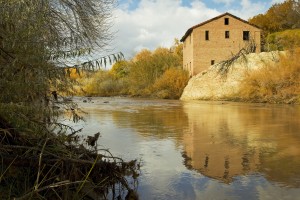
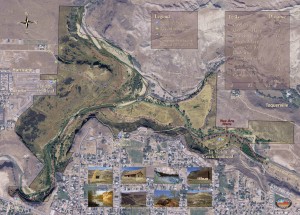
Confluence Park is a 344-acre natural park managed by Washington County through the Red Cliffs Desert Reserve office. It is uniquely located within the boundaries of Hurricane and LaVerkin, Utah where Ash Creek and LaVerkin Creek meet the Virgin River. Confluence Park sits at the bottom of large basaltic lava cliffs, leaving it isolated and protected from development in the cities above.
In past years, much of Confluence Park has been invaded by non-native species such as Russian olive and tamarisk trees. These invasive trees make the park less habitable to native plants and animals that once flourished in the area. Recent grant-funded conservation efforts have restored much of the Park’s riparian areas and have greatly increased the natural element and visitation enjoyment. The Park is loved by people for its preservation, protection, and enhancement of the area’s rich cultural history, wildlife, and natural resources.
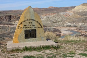
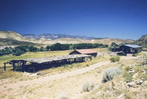
Confluence Park has a long and storied history. Evidence of Anasazi inhabitants, Native Americans, 16th Century explorers, and 19th Century pioneers can be seen and felt. Often praised for its cultural and historic value, Confluence Park also is home to a broad spectrum of wildlife species. Endangered and sensitive fishes swim in its waters, foxes, falcons, rattlesnakes, deer, porcupine, beaver, raccoons and more enjoy its rich variety of vegetation uncommon to a typical desert environment.
Hiking trails criss-cross the Park connecting towns and experiences. Long-distance trails access the Red Cliffs Desert Reserve multi-trail system, which offers more than 130 miles of outstanding recreational opportunities. See: multi-use trails.
_______________________________________________________________________________________________
The main entrance to Confluence Park is at the LaVerkin trailhead. You can access the park through the other trailheads as well.
1. Hurricane trailhead
From Main Street in Hurricane, travel north until the road ends. At this point you will see a faint trail that leads down to the river below.
2. SR-9 trailhead
SR-9 has a large bridge which crosses the river between the towns of Hurricane and La Verkin. On the La Verkin side of the bridge, west of SR-9 between the vacation rentals and River Rock Roasting Company, you will find the trailhead. Parking is available north of River Rock in the dirt lot located at 300 South. The trail winds its way down to the river below. This trail follows the river to the old power station then continues on to eventually connect with the LaVerkin trailhead.
3. Center Street trailhead
From State Street in LaVerkin turn west on Center Street. At the end of the road there will be a trail which leads down into Confluence Park.
4. LaVerkin trailhead
From State Street in LaVerkin turn west on 900 North into a subdivision called Riverwoods. The paved road turns into a dirt road. Follow this dirt road to the Confluence Park parking lot found on your left (south).
______________________________________________________________________________________________

Activity in the 1900’s
Human History in Confluence Park
Newspaper Articles
Our Native Desert Environment
Park Plan – 5/15/07
Updated Master Plan – Dec 2019
Harmful Algal Blooms
Restoration Efforts
Hydroelectric Power Plant
Park Use Permit Application
Filming/Photo Permit Application


