Yellow Knolls

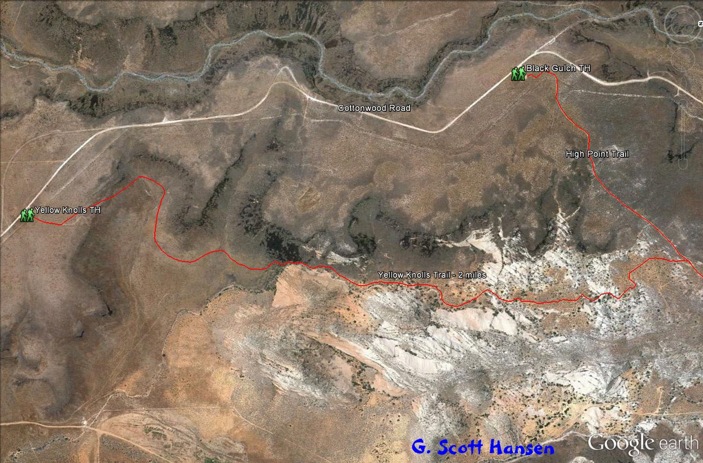
The Yellow Knolls trail is most often accessed via the Yellow Knolls trailhead (elevation 3940 feet) located off the upper-middle portion of the Cottonwood Road. The mostly single track, well marked, sandy trail is about two miles in length with a cumulative elevation gain of about 440 feet and a total elevation change up and down of about 620 feet, one way. This is a relatively easy trail suitable for hikers and equestrians but too sandy in some sections for most bikers.
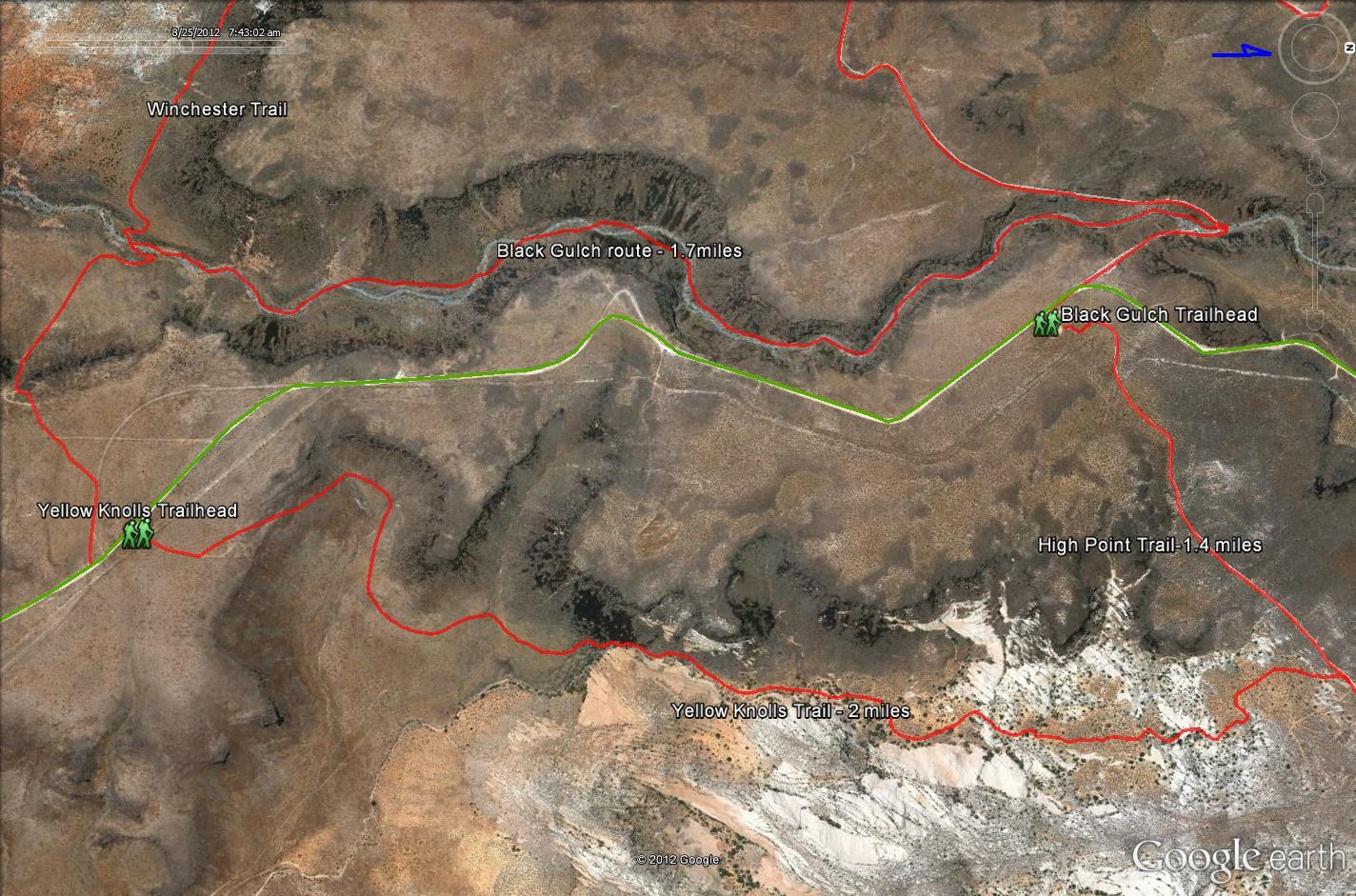
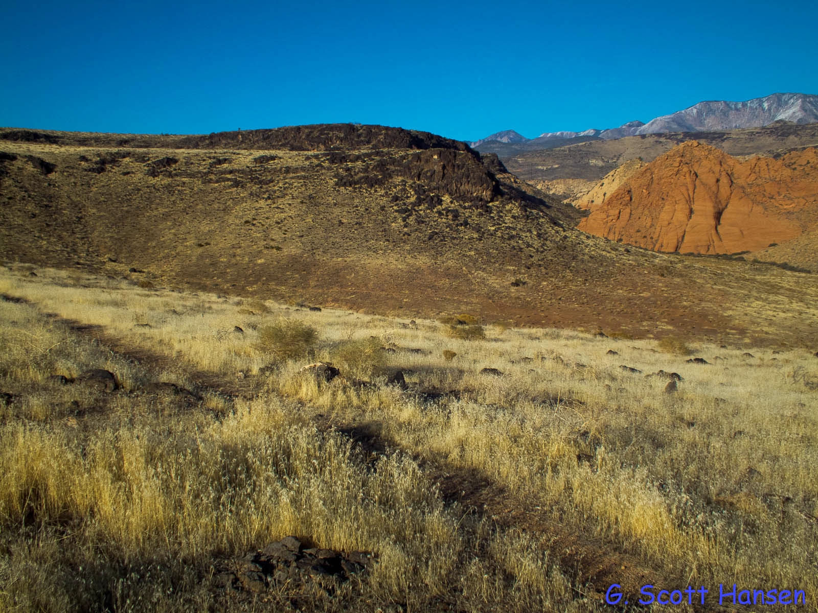
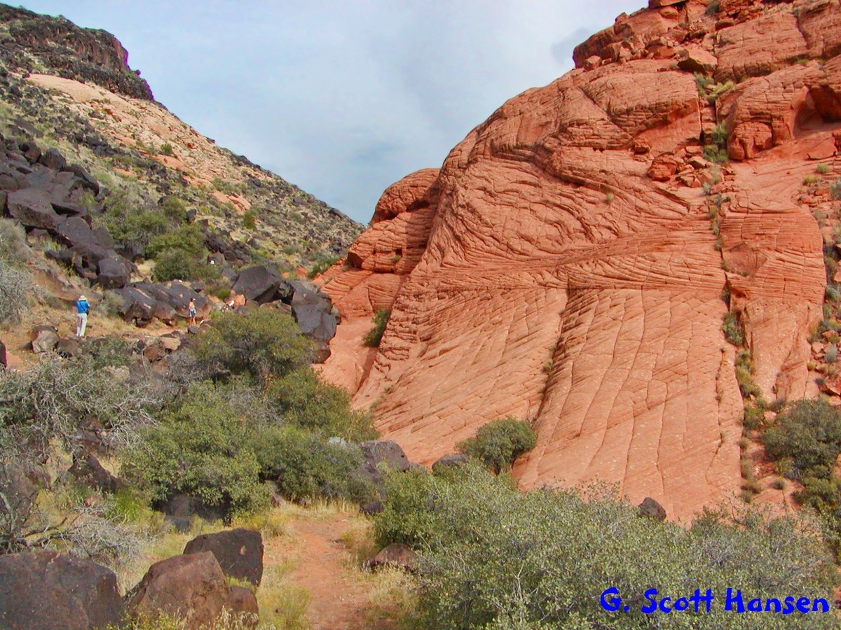
From the Yellow Knolls trailhead the trail descends toward the wash to the trail’s lowest elevation of about 3810 feet. It then slowly ascends through a picturesque, valley with beautiful sandstone formations including expansive checkerboard faces much like those found in Zion National Park. The trail ends at the junction with the High Point Trail which connects to the Black Gulch trailhead on the south or continues to a dead end in higher country to the north. Highlights include red and white slickrock formations and spectacular floral displays in the springtime. Common desert wildlife in this area include tortoises, cottontail rabbits, coyotes, mule deer, raptors, and an occasional Great Basin rattler, among other desert species. The trail may also be travelled starting from the Black Gulch trailhead following the 2-track, High Point trail for about 0.5 mile to the Yellow Knolls sign and taking the single-track trail to the south to the Yellow Knolls trailhead. Hikers or riders may then use the Cottonwood Road to return to the Black Gulch trailhead, a distance of about 1½ miles. Hikers may also choose to complete the loop hike via the Winchester and Black Gulch trails for a strenuous but delightful 6-mile excursion. The trail and its primary linkages lie across lands administered by the BLM within the Red Cliffs NCA.
-
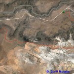
- Yellow Knolls trail map with link to High Point trail
-
- This map shows loop options that may be taken from the Yellow Knolls trail which entail longer hikes but very worthwhile experiences.
-
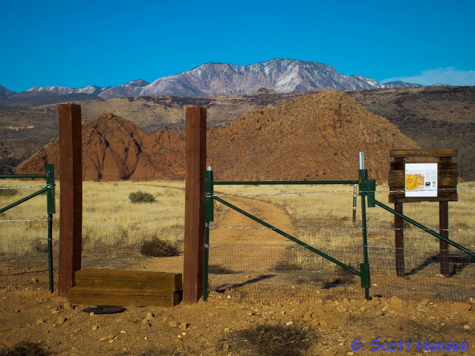
- Yellow Knolls trailhead includes parking for vehicles and horse trailers
-
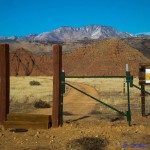
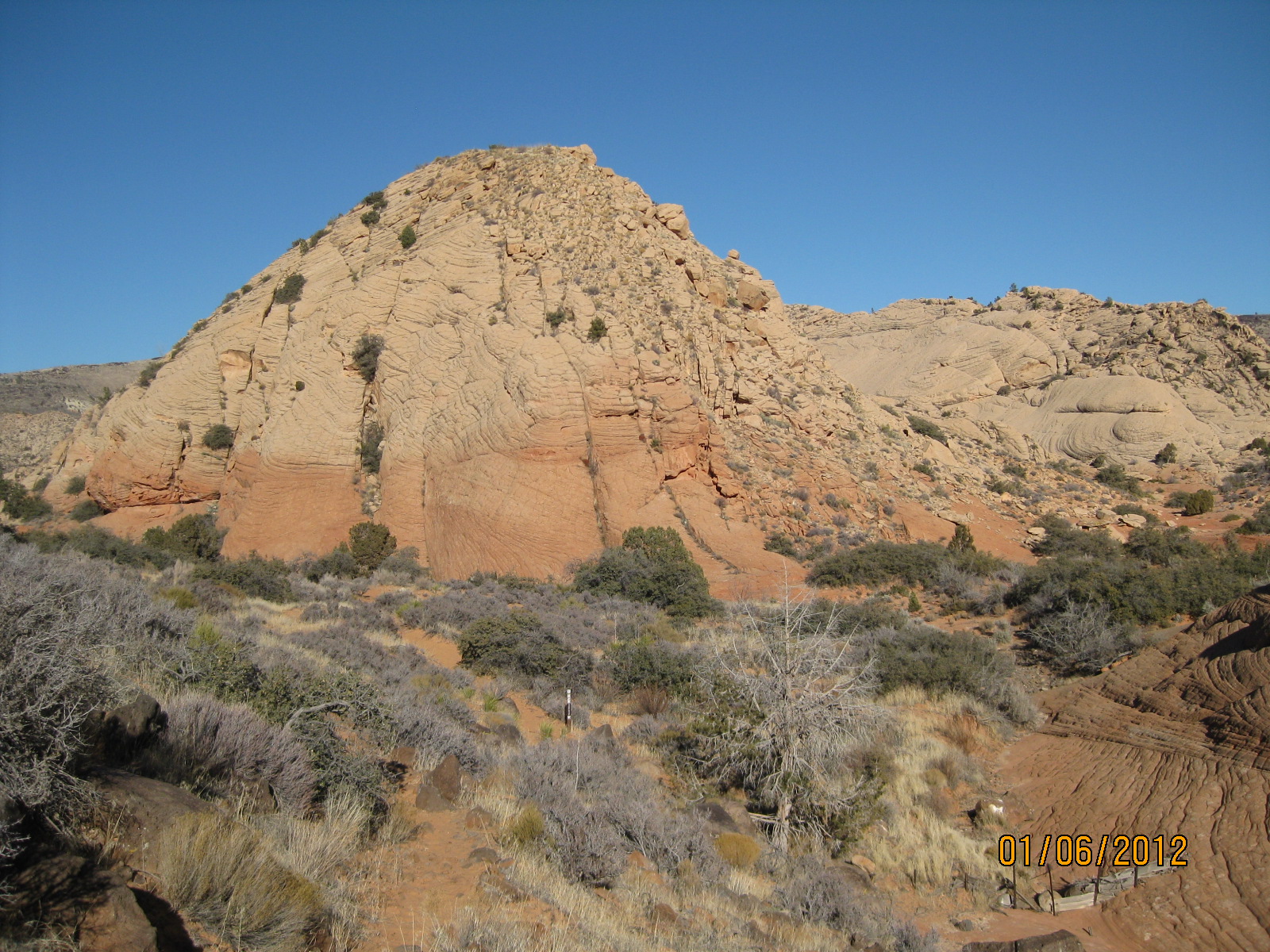
- View of the unusual Yellow Knolls formation from the trailhead
-
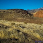
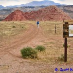
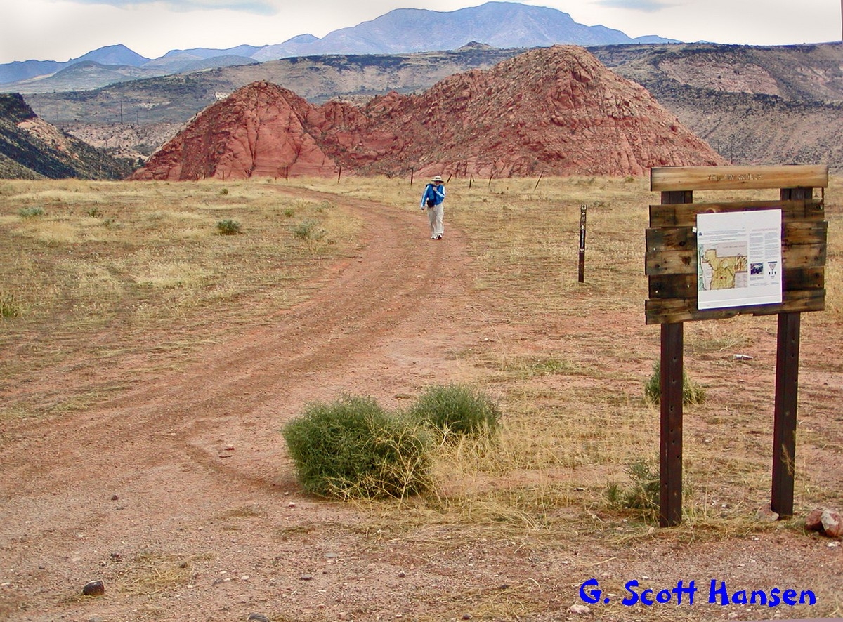
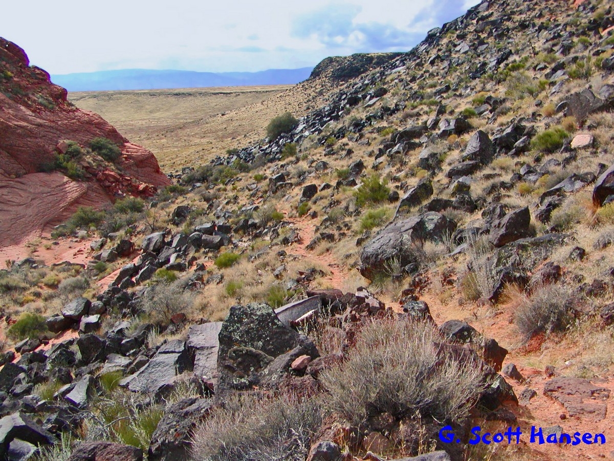
- Trail drops off through grassy area into valley below the Yellow Knolls
-
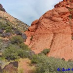
- Single track trail leads through the pass for the first encounter with sculptured, slickrock formations
-
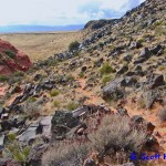
- Trail continues through lava rock formations coming out of the pass
-
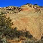
- Spectacular white rock formations exist for over half a mile of trail
-
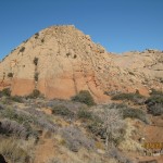
- Red and white sandstone resembles formations of upper Zion Park
-
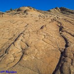
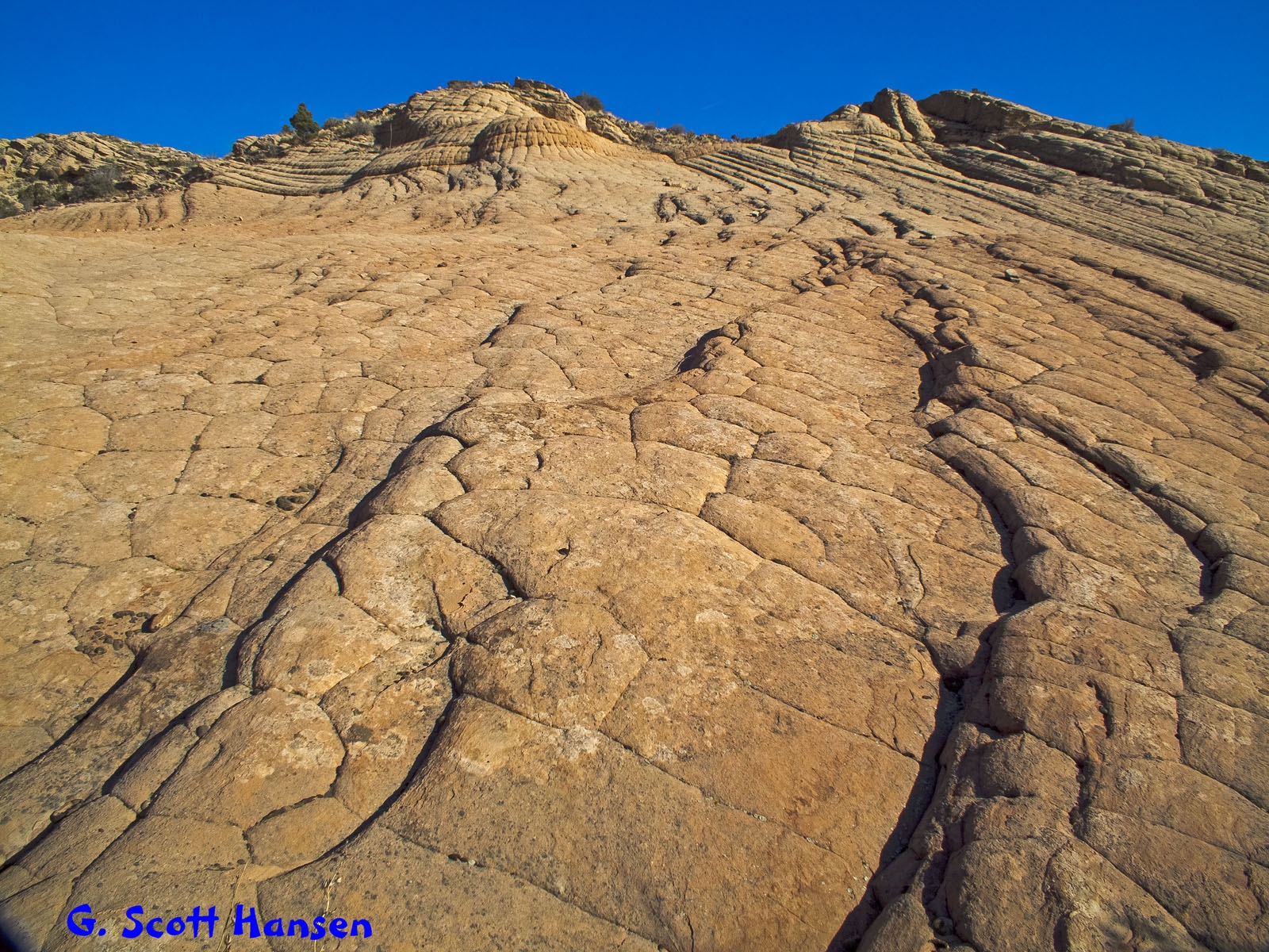
- Checkerboard and octagonal formations abound along the center section of the trail
Read The Spectrum’s article on Yellow Knolls