Rusty Cliffs
The Rusty Cliffs trail is about 3.5 miles in length with a net elevation gain from south to north of about 400 feet and a total up/down elevation change of 910 feet (650 up, 265 down). The trail is accessed from the north via a step-over in an unmaintained parking area off State Highway 18. From the south it is accessed from the north end of the City Creek trail, or via a step-over 200 yards to the east of the underpass on the south side of the Red Hills Parkway to access the dugway that drops down to the underpass. The northern part of the trail is primarily a single track, dirt path that is overgrown by vegetation in many areas. Most of the time, the trail/route can be determined by sighting one trail sign to another. The southern section of the trail is primarily an old, 2-track road that is also overgrown in places due to limited use. A couple of sections of the trail follow the fence line near the state highway. Most of the trail is far enough removed or hidden from the highway, however, to provide reasonable seclusion from the traffic. The trail provides some interesting views of the sandstone formations that lie on the east side of the trail. With final construction of the Red Hills Parkway complete, including the underpass, it is expected that the route will receive increased use from equestrians and other visitors. Prior to the area being protected by the RCDR, thoughtless shooters left much broken glass on sections near the highway. Other than the southern-most part of the trail on St. George City land, the traillies entirely on lands administered by the Bureau of Land Management in the Red Cliffs NCA.
-
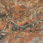
- This map shows the Rusty Cliffs trail and its relationship with State Route 18 and Red Cliffs Parkway.
-
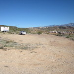
- Visitors may access the trail from its north end at this undeveloped parking area approximately 2.5 miles north of SR-18’s junction with the Red Hills Parkway.
-
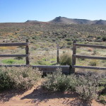
- From the north, visitors will enter the trail through this stepover at the south end of the parking area.
-
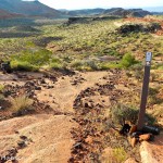
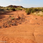
- The trail heads due south in large part as a faint single-track across various kinds of substrates.
-
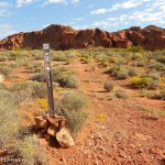
- The majority of the trail consists of the two-track across packed dirt and rocky surfaces.
-
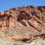
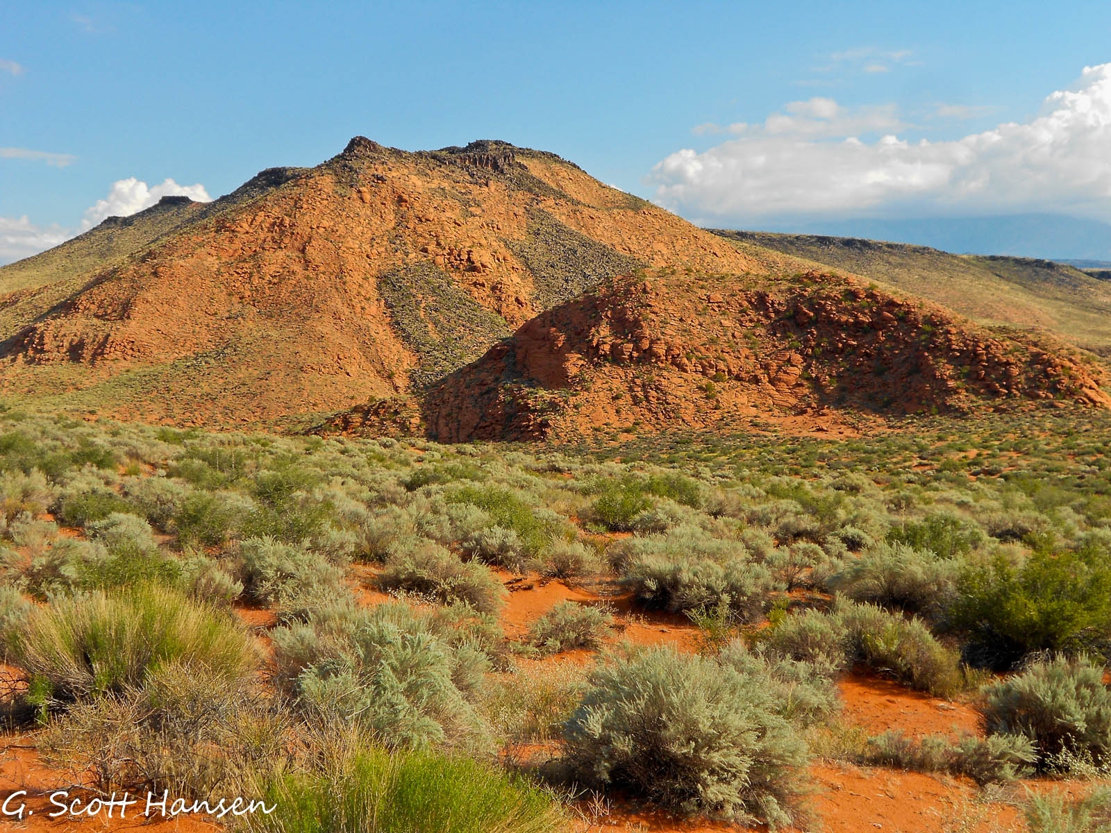
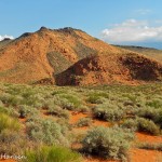
- The trail runs underneath a series of red rock cliff faces such as this one to the east of the trail.
-
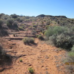
- The trail crosses multiple dry sandy washes.
-
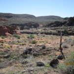
- The trail frequently drops down into wide valleys that provide interest along the trail.
-
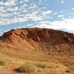
- Along the entire trail visitors will enjoy excellent views of red sandstone cliffs and canyons located along the eastern side of the trail.
-
- At this point the trail enters a large sandy wash where visitors will have to carefully look for trail signs to guide them where they want to go.
-
- Some of the formations to the east provide unique landscapes which make the trail worthwhile to hikers, bikers and equestrians.
-
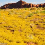
- During wet years visitors may be treated to excellent floral displays such as this field of yellow flowers.
-
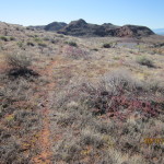
- Large portions of the trail consist of narrow single tracks that may be obscured by vegetative growth.
-
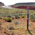
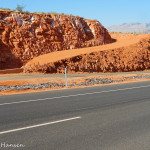
- In some parts the trail closely parallels SR-18, easily seen from the trail.
-
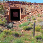
- On the south end the trail passes through an underpass below the Red Hills Parkway which carries them up to a connection with the City Creek trail.
-
- Coming out of the underpass visitors will proceed up this dugway to reach the top of the mesa and continue on the City Creek or Red HIlls Parkway trails.