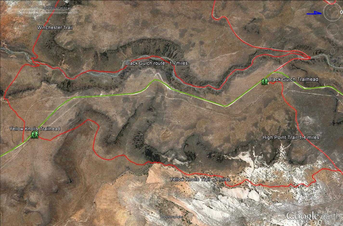
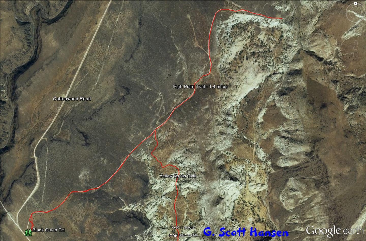
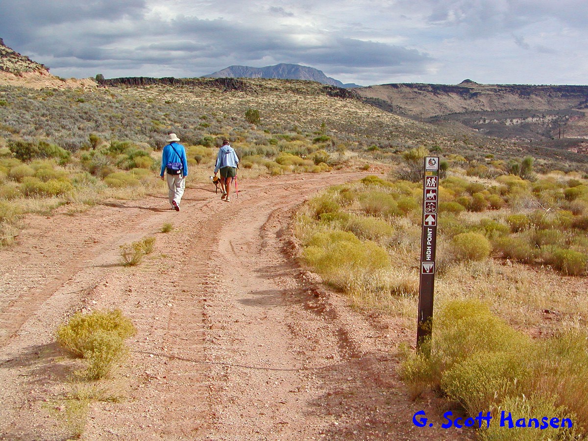
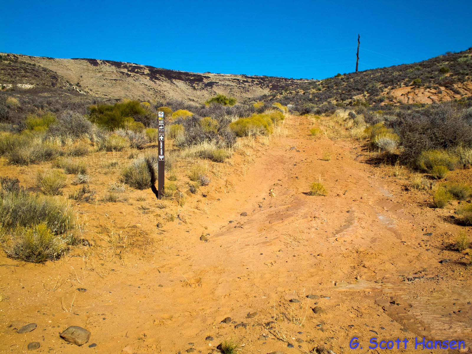
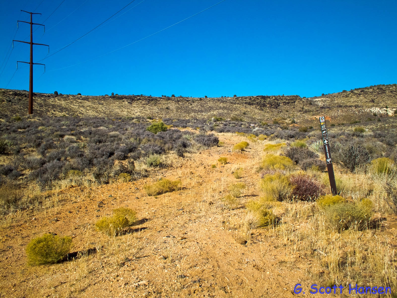
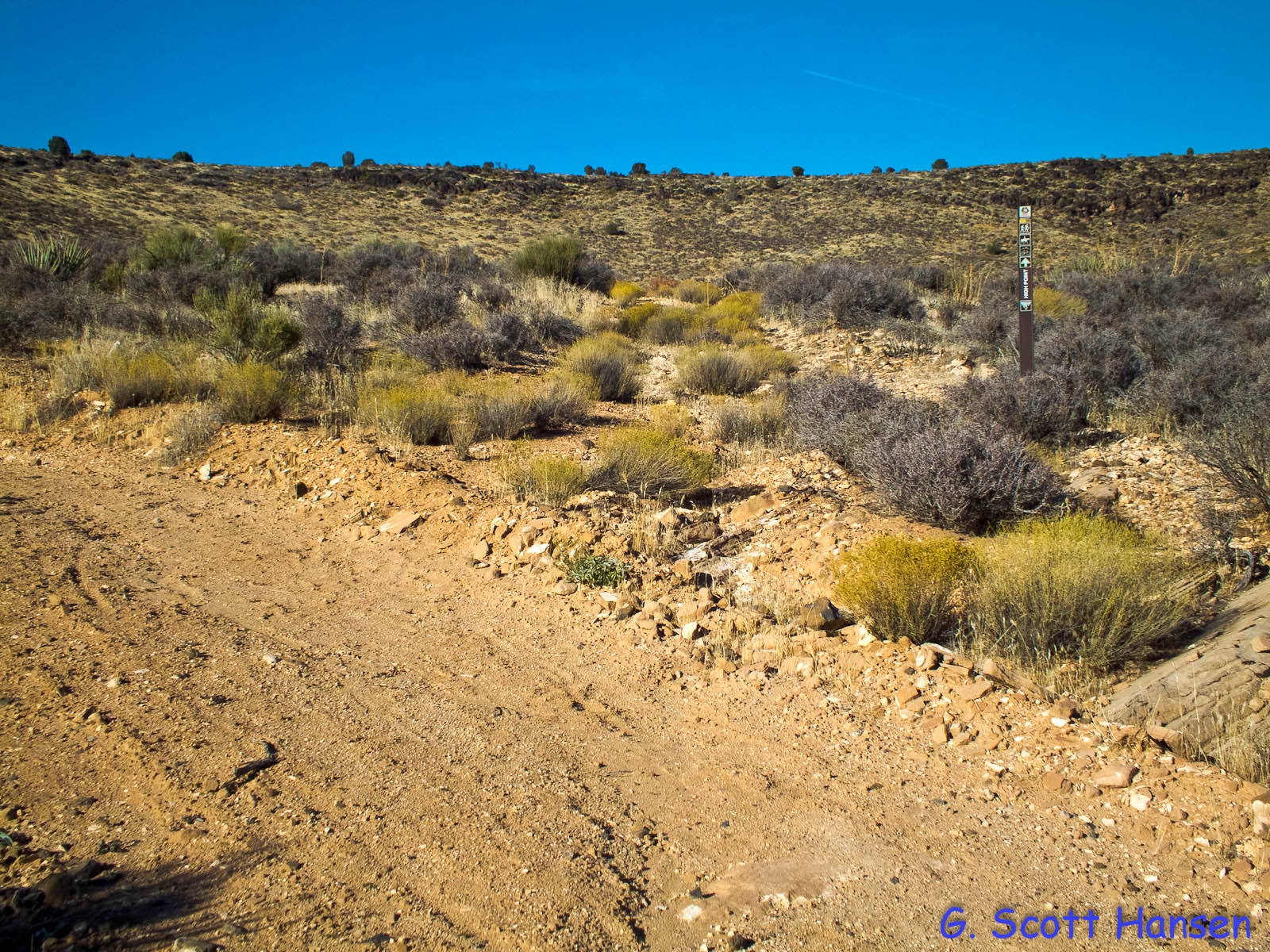
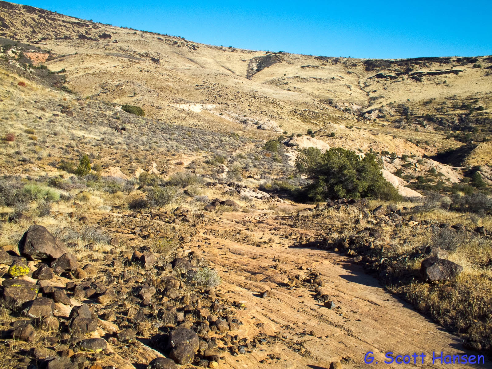
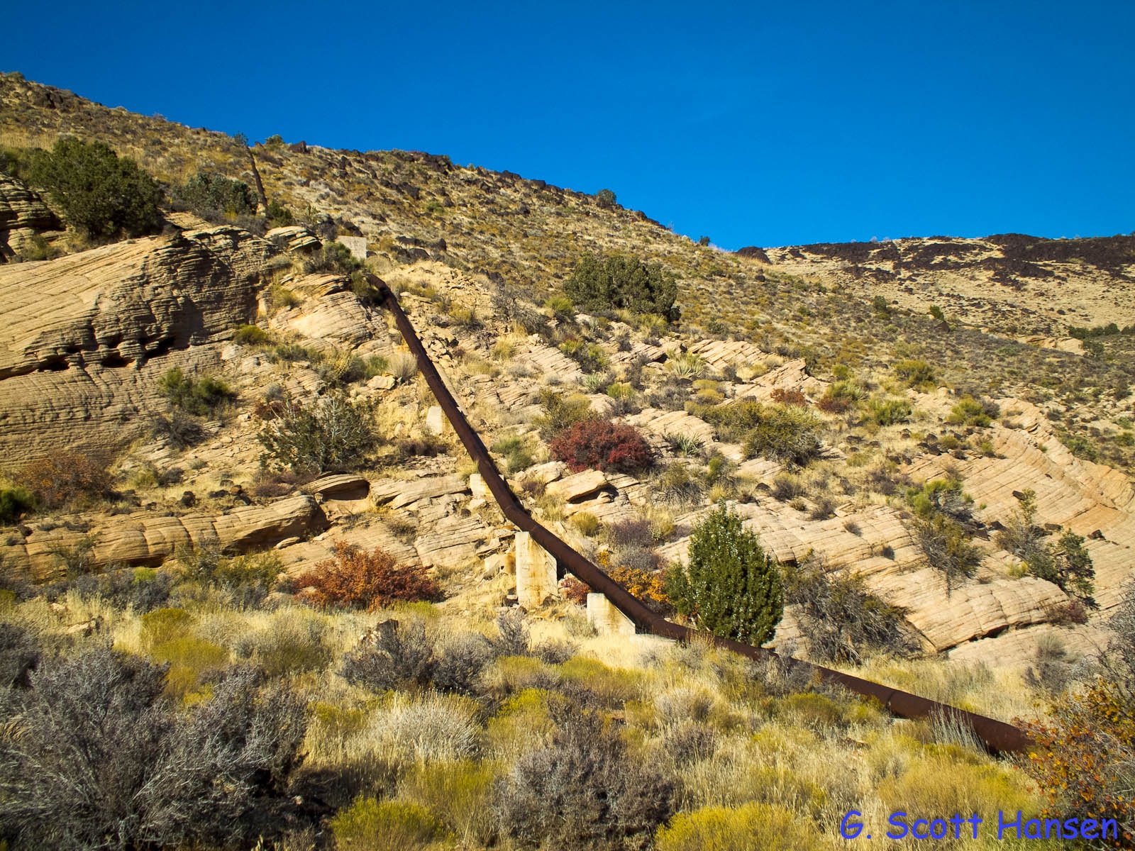
High Point

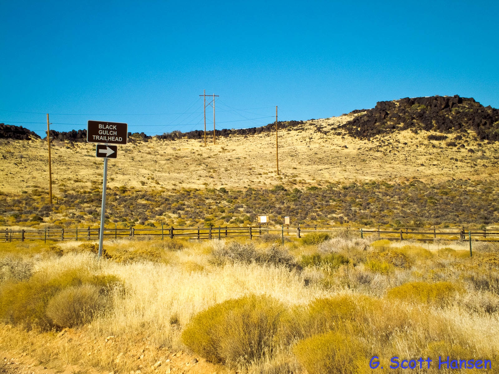
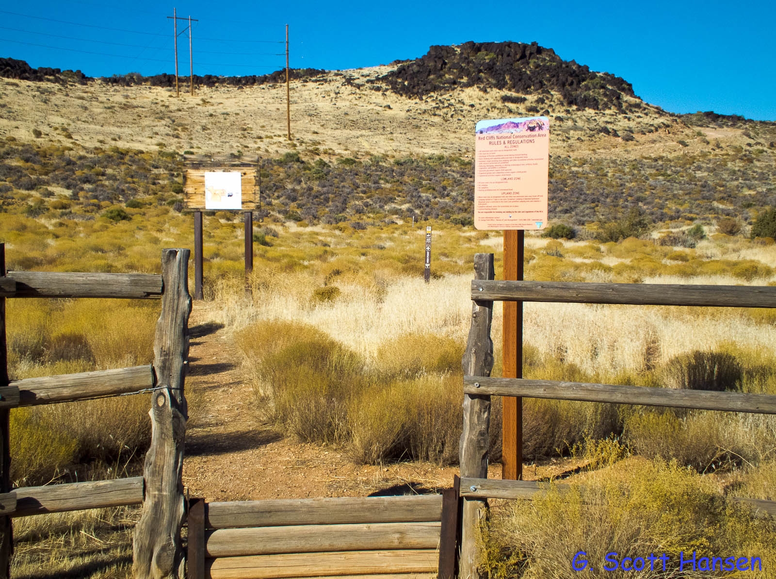
This easy, 1.4 mile hike starts at the Black Gulch Trailhead off of Cottonwood Road. From the step-over, find your way over to the powerline maintenance road and follow this mostly rocky road for about 1 mile. You will pass the junction with the north end of the Yellow Knolls trail about half way up the road. At the powerline junction, bear left on the powerline access for a short stretch and break off to the right at the trail sign to take the old, 2-track, rocky, access road to the trail’s end near the St. George water pipeline. The highest point on the trail is a knoll located a little beyond the pipeline and only about 75 feet higher than the trailhead. The total up and down elevation change is about 410 feet. The trail provides nice views of the Turkey Farm and Yellow Knolls areas and of the remote valley below the Mesa Rim. The trail lies entirely on lands administered by the Bureau of Land Management within the Red Cliffs NCA.