Hellhole

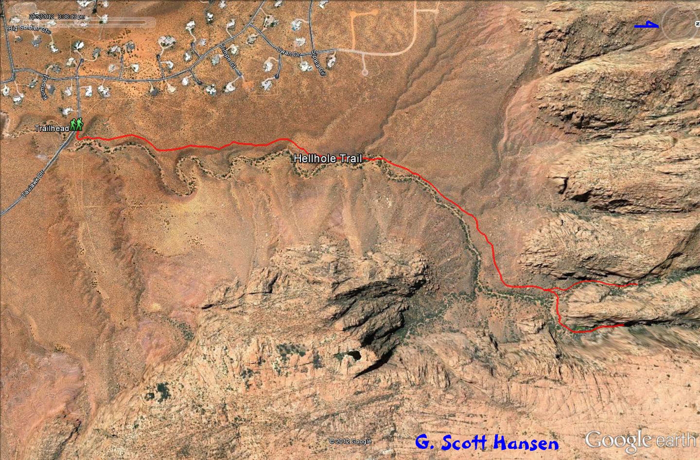
The trail begins on the private, Kayenta development property in northwest Ivins next to a signed pull-off along Taviawk Drive. The remainder of the trail crosses lands administered by the U.S. Bureau of Land Management including lands at the north end which extend into the Red Mountain wilderness area. The trail/route follows the wash but parts of the rocky wash can be avoided by using sandy/rocky paths above the wash. The moderately difficult trail has a total elevation gain of about 400 feet and a total up and down elevation change of about 700 feet. It is about 1½ miles long, ending for most hikers, about 0.5 miles up inside the more difficult, although beautiful, east fork consisting of a rock strewn canyon. A side trail to the west fork at the north end of the main wash will take you up to an elevated canyon about 0.4 miles before reaching a steep ramp that rises towards the top of the mountain to the right. The entire trail runs along or through the bottom of the spectacular Red Mountain wilderness complex with its spiraling red cliffs and rock formations. The cottonwood trees along the wash provide nice autumn colors. Spring rains often bring a flurry of desert flowers. The wash should be avoided during and immediately after heavy rains due to flash flooding, particularly in its upper ends.
-
- Hellhole trail map
-

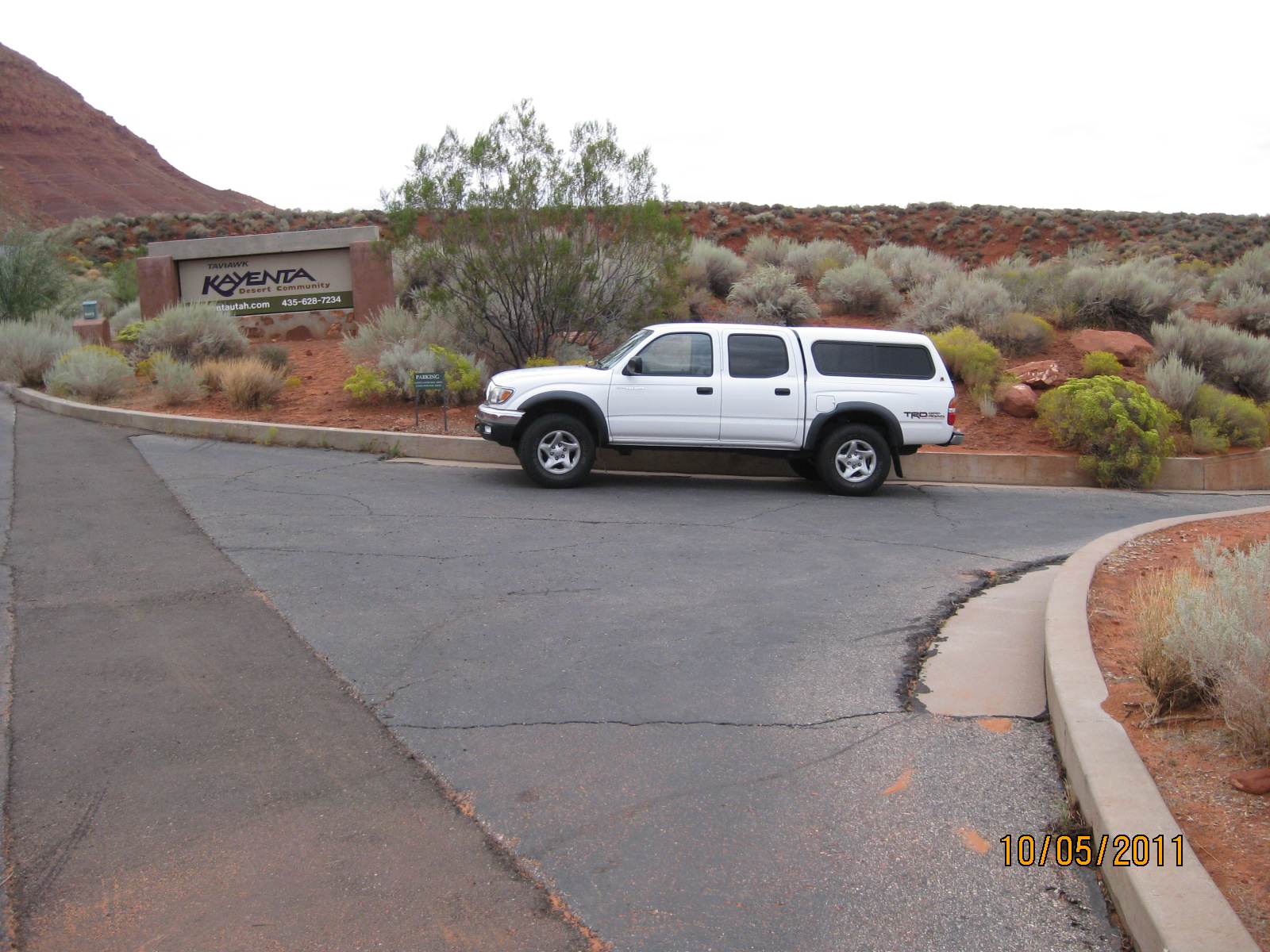
- Limited parking is available on Taviawk Drive in the Kayanta development in Ivins
-
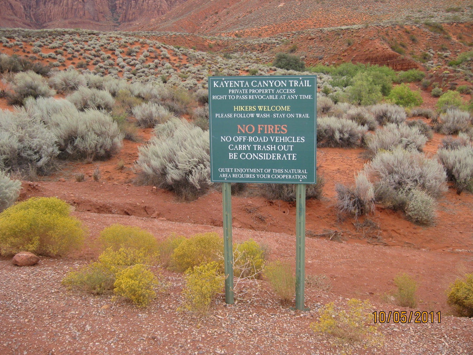
- The trailhead starts across the street from the parking on private ground. Please be respectful.
-
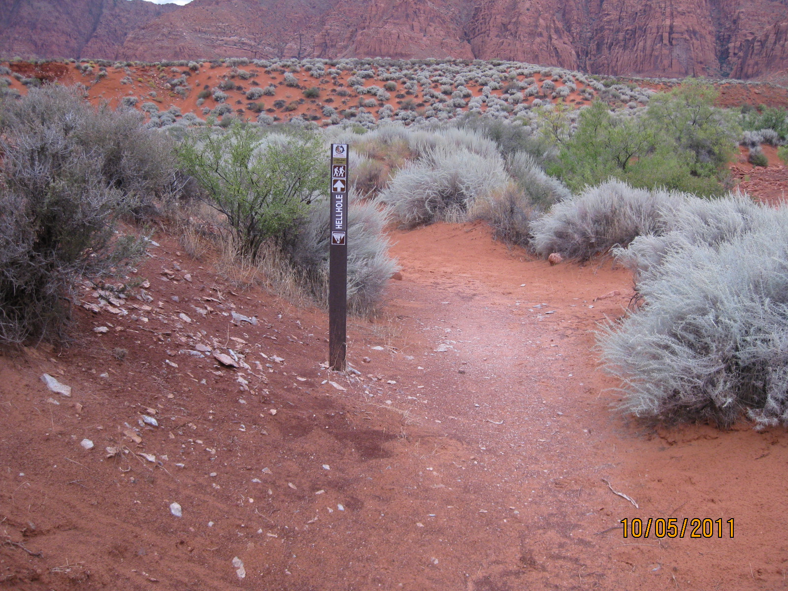
- The trail starts as a single track dirt trail, dropping into the main wash
-
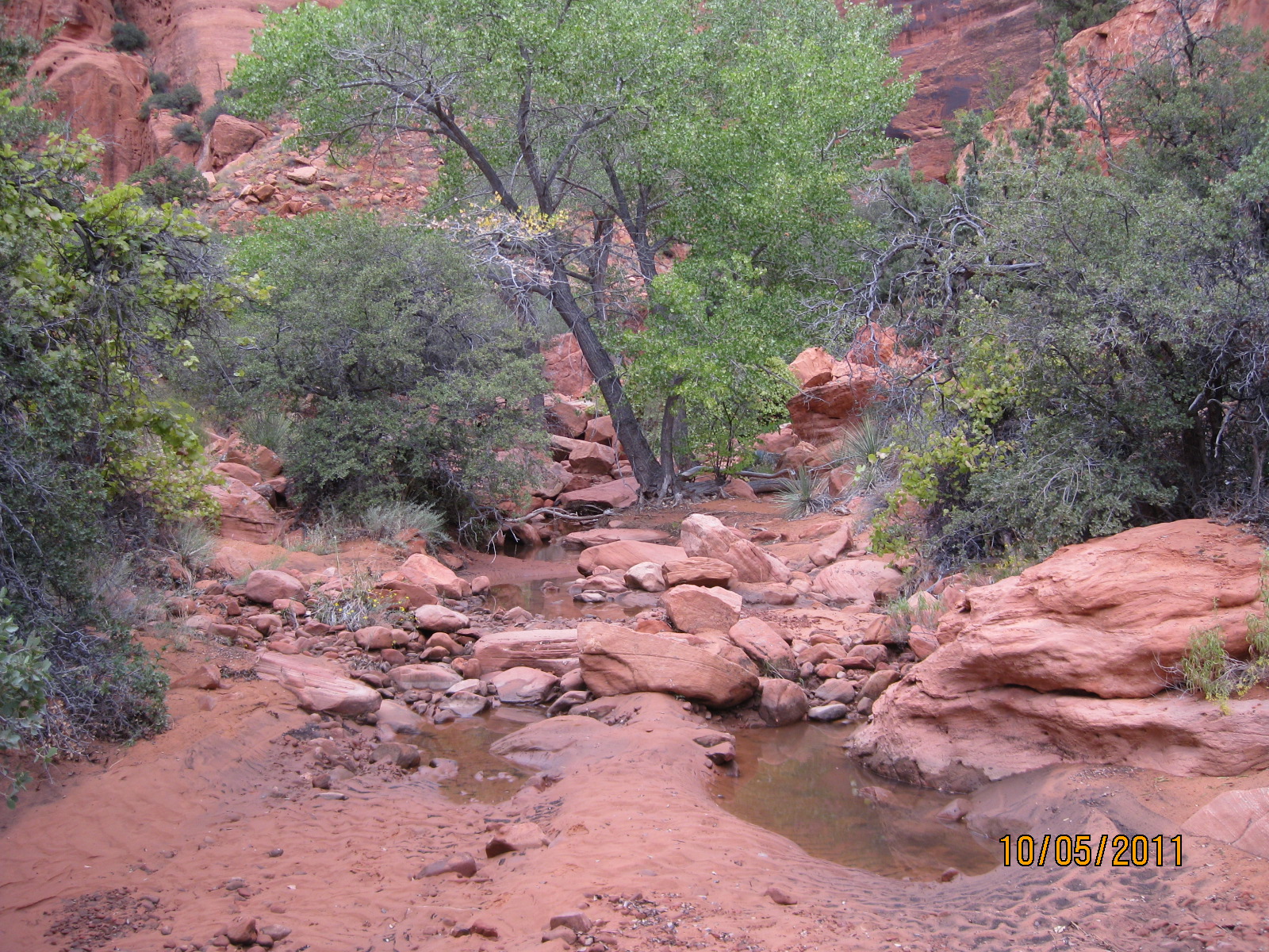
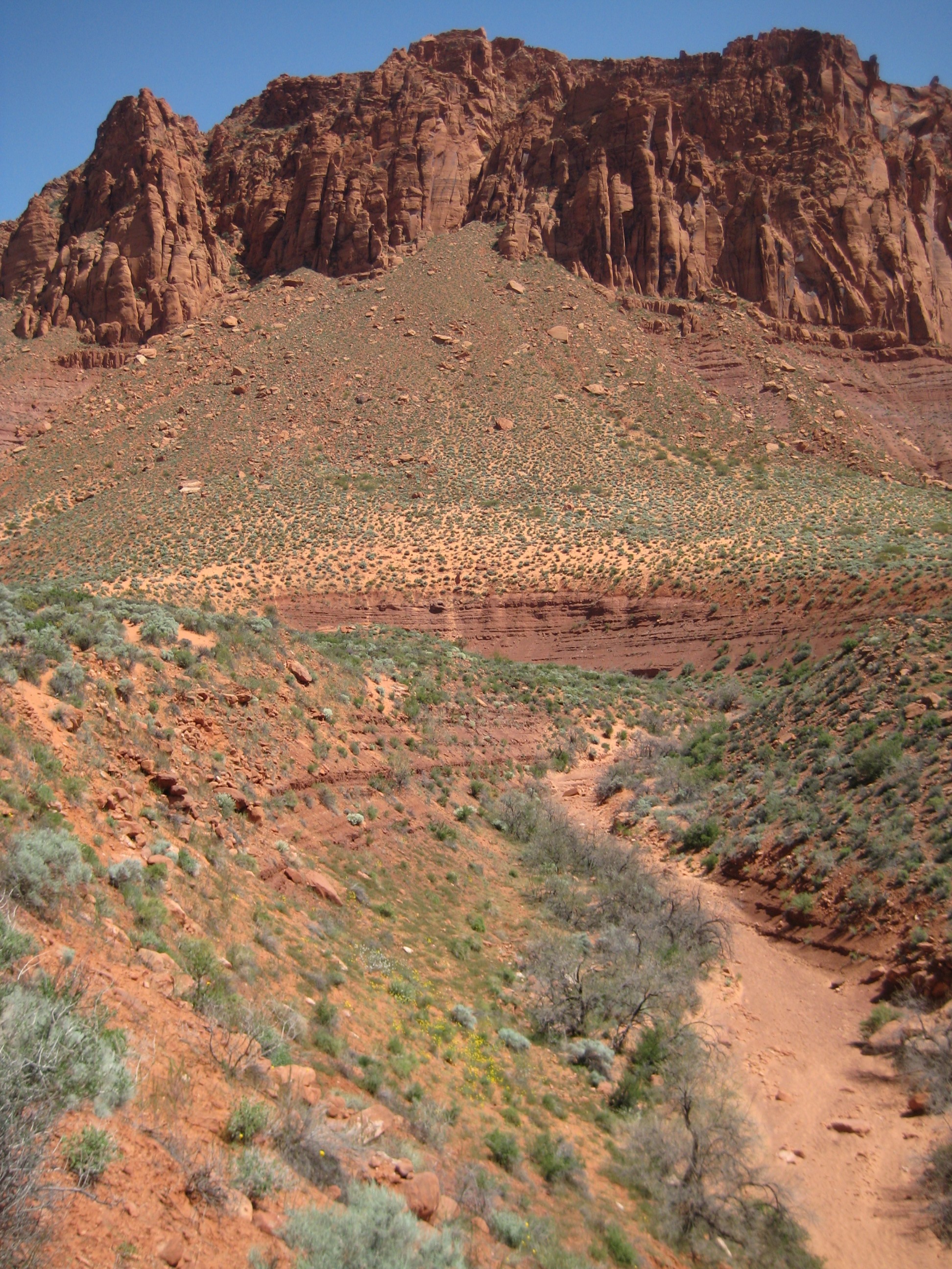
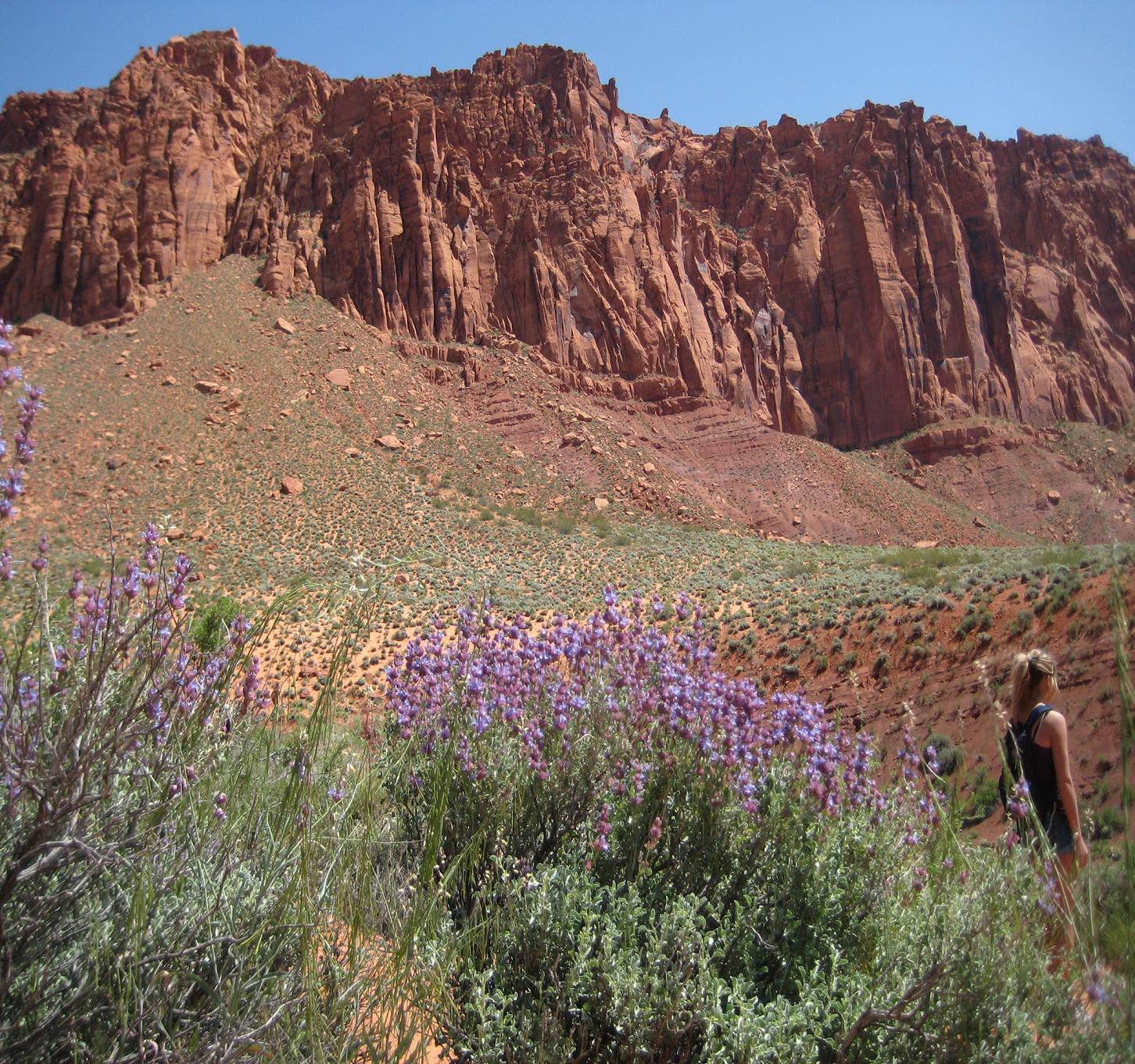
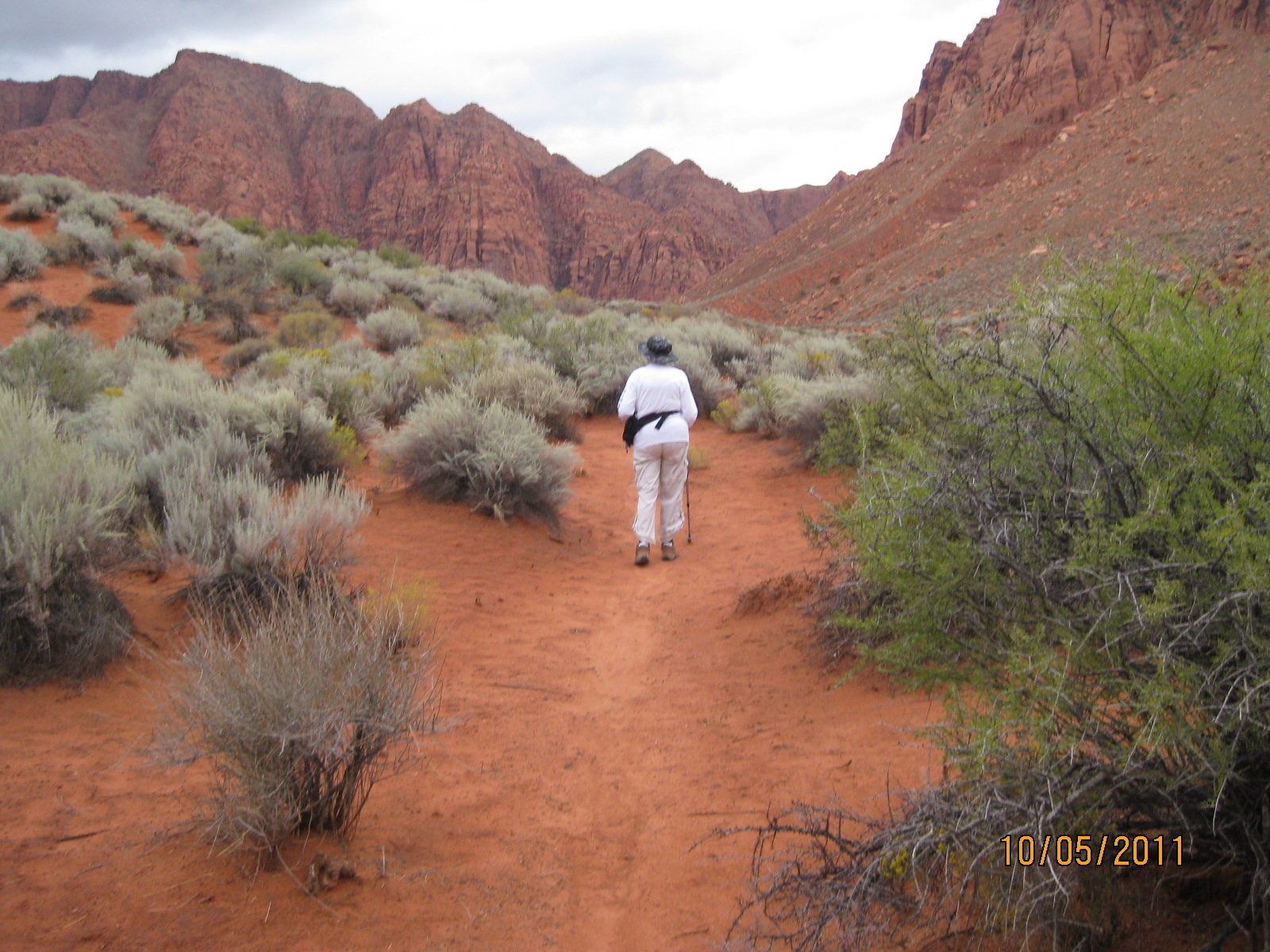
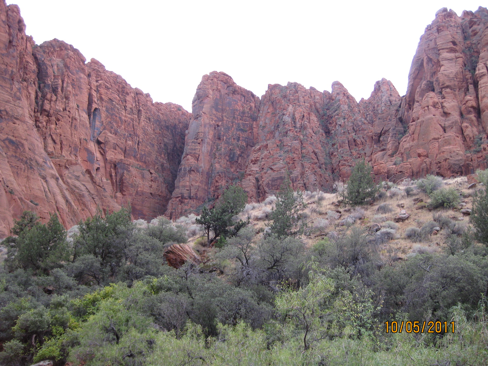
- The wash winds along the bottom of the spectacular Red Mountain cliff face in a designated wilderness area
-
- Portions of the wash bottom consist of deep sandy bottoms
-
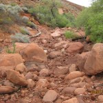
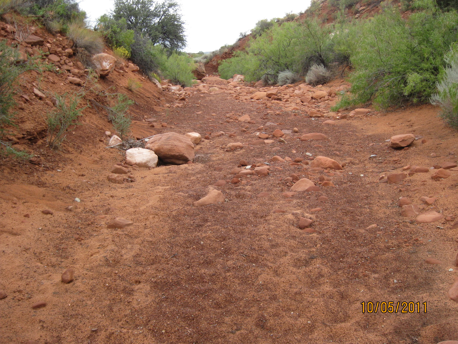
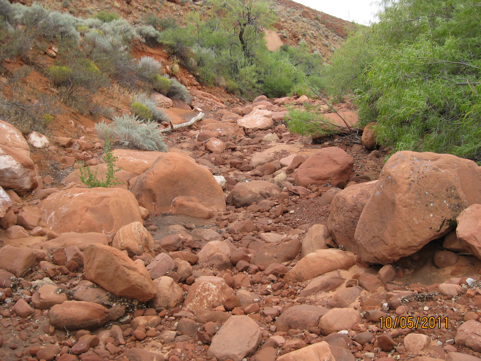
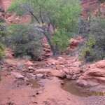
- Portions of the wash consist of very rocky bottoms
-
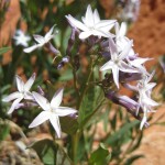
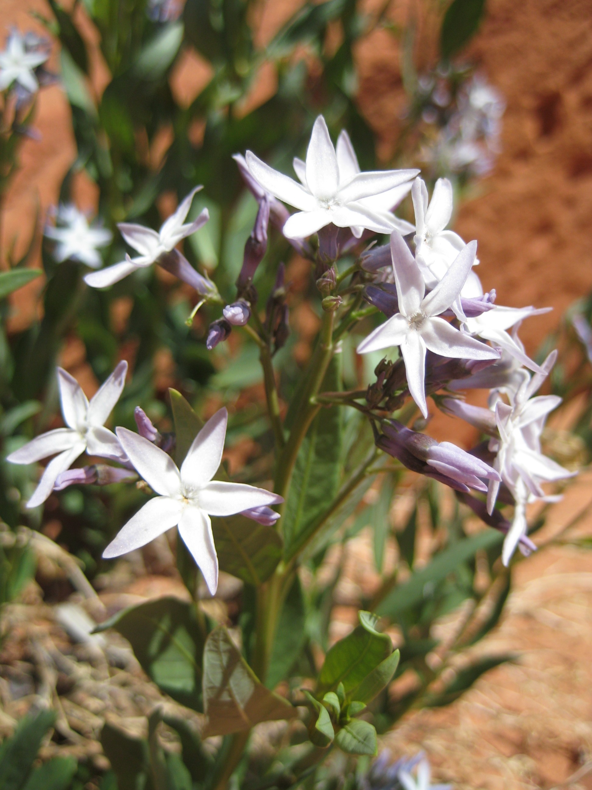
- Floral displays, such as this Wooley Bluestar, are very common during the spring
-
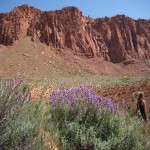
- Floral displays can be found along the entire stretch of the wash
-
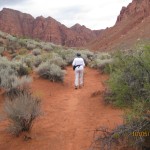
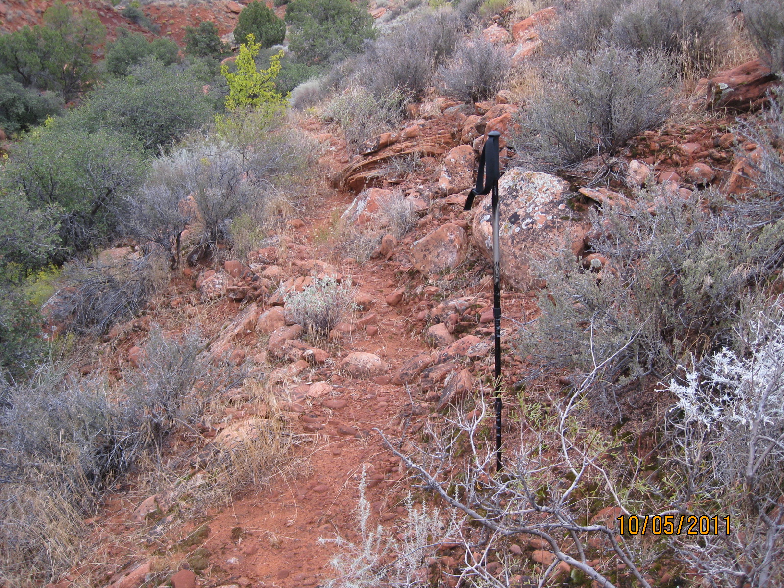
- User trails above the wash can help hikers avoid difficult or rocky portions of the trail
-
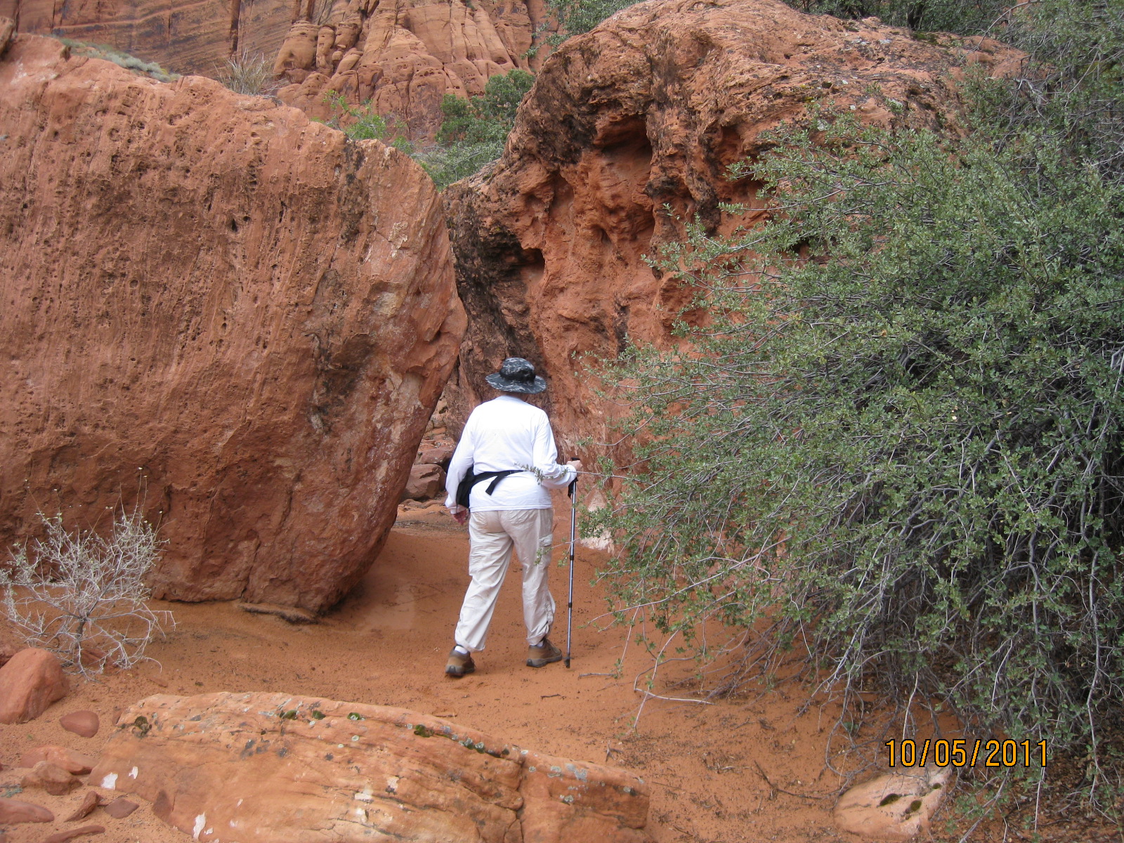
- When approaching the upper canyon, hikers will encounter unsigned, single-track, dirt, user trails
-
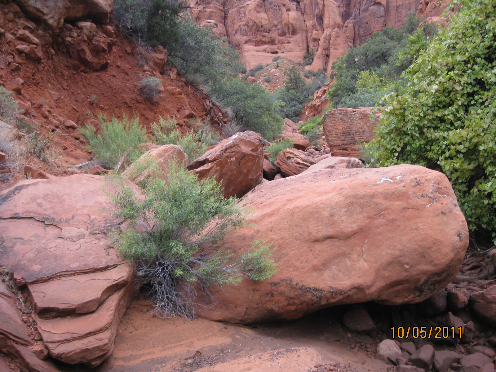
- In the narrow upper canyon, large rock falls provide interesting opportunities for hikers to explore the boulder fields
-
- In some cases large boulders need to be carefully and safely navigated. Inexperienced hikers may be challenged.
-
- Spectacular canyon walls shown above mark the end of the trail for most hikers
-
- A peaceful garden area awaits hikers who reach the end of the main canyon