Grapevine

The Grapevine trail consists of a 2-track, dirt maintenance road to city water facilities but provides access to the start or middle of numerous trails in the Red Cliffs Desert Reserve and NCA. These include the Bracken’s Loop, Sand Hill, Dino Cliffs, Prospector, and Church Rocks trails. The Grapevine trail is located entirely on lands currently managed by the Utah School and Institutional Lands Administration (better known as SITLA or the Utah School Trust). The trail is accessed off exit 13 of Interstate Highway 15 where parking is provided on a graveled area just off the north frontage road. Vehicles should not enter the actual maintenance road since it is gated about ¼ mile up the trail with no reasonable turnaround option. From the gate, it is still a short walk up the hill before a second gate with stepover is provided at the boundary of the Reserve. This easy trail is generally level over its 2.6 mile length with an elevation change of 435 feet from start to end and a total up and down elevation change of 630 feet. The trail itself offers little to visitors other than excellent views of mountain peaks and red rock canyons to the north in the Cottonwood Canyon Wilderness area and Dixie National Forest. It is, however, a critical link between the trails noted above. Those linkages make the trail popular for hikers, bikers, and equestrians alike.
-
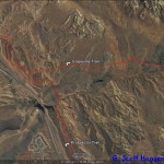
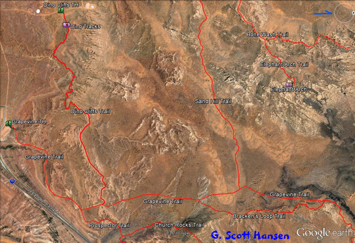
- Grapevine trail map
-
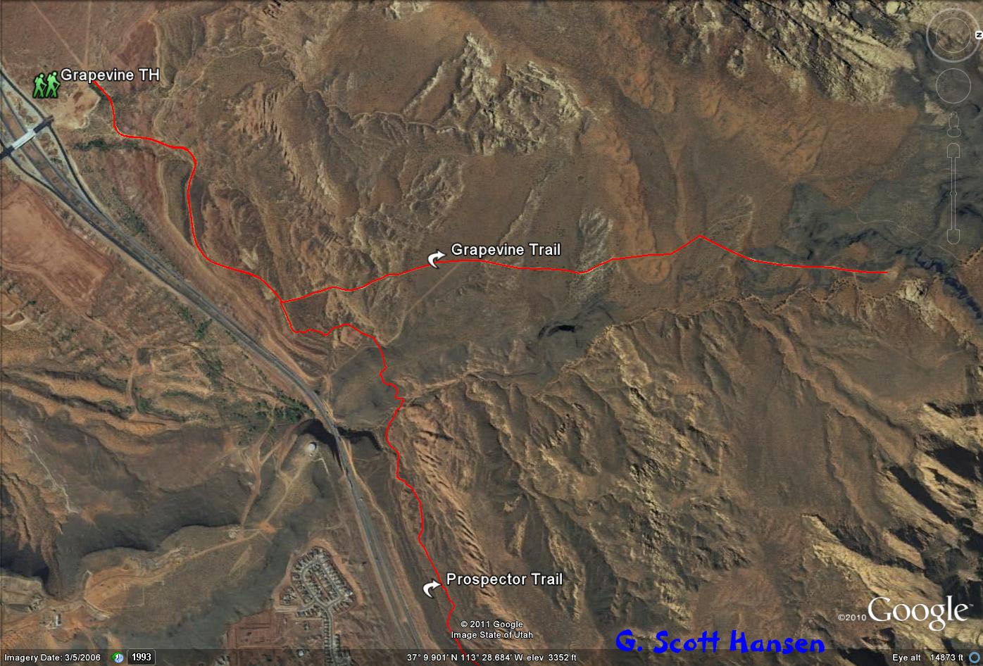
- Grapevine trail area map shows numerous popular linkages from the Grapevine trail.
-
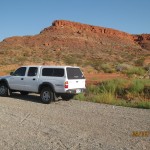
- Grapevine trailhead is located on gravel surface just off I-15 Exit 13 North.
-
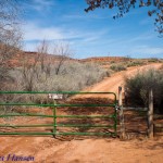
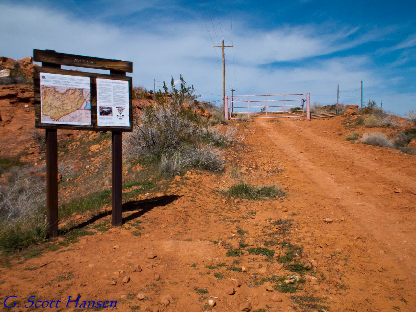
- Visitors will pass the first stepover into Utah School Trust lands.
-
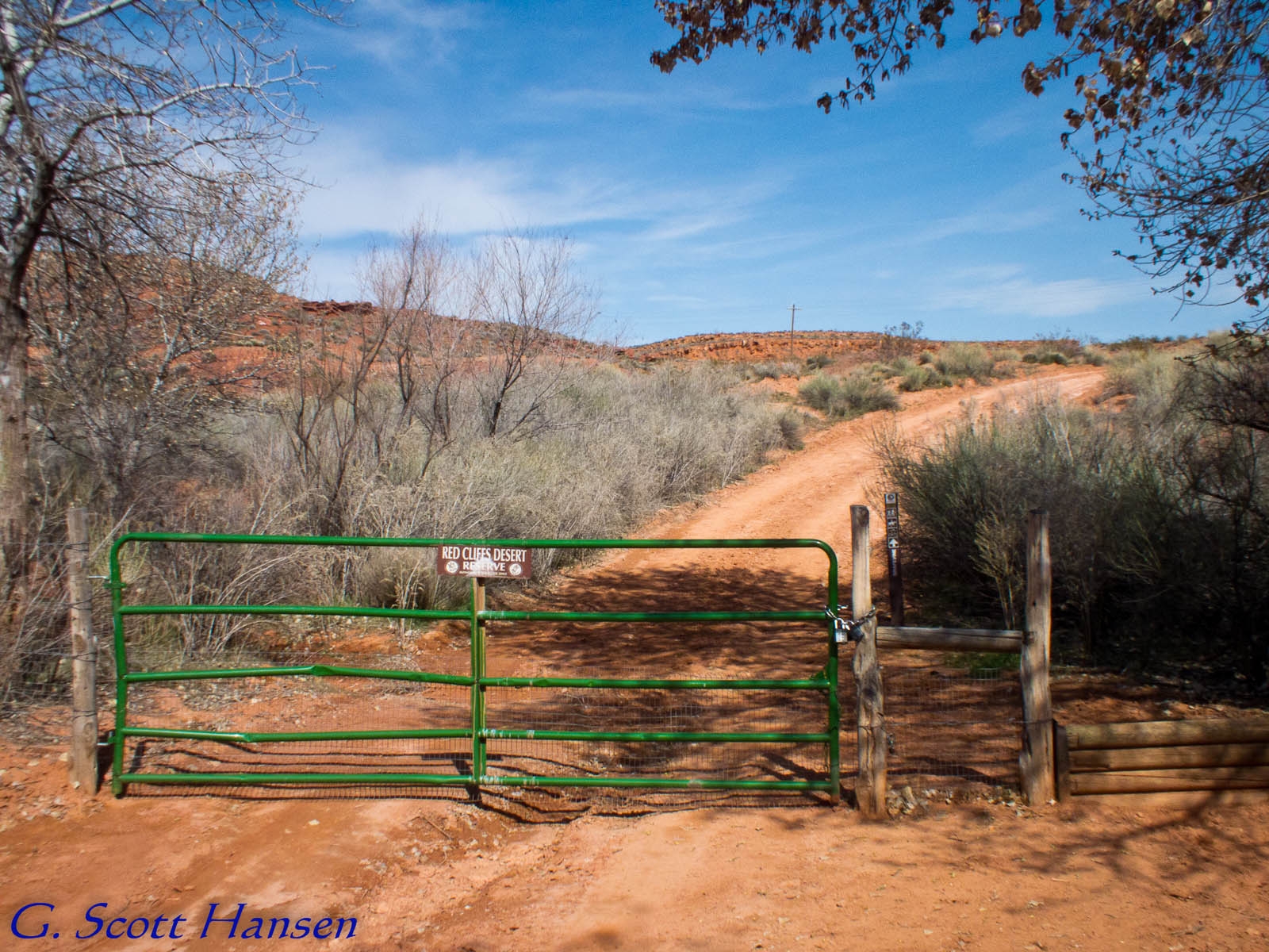
- Visitors will pass through a second stepover at the boundary of the Red Cliffs Desert Reserve and National Conservation Area.
-
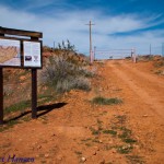
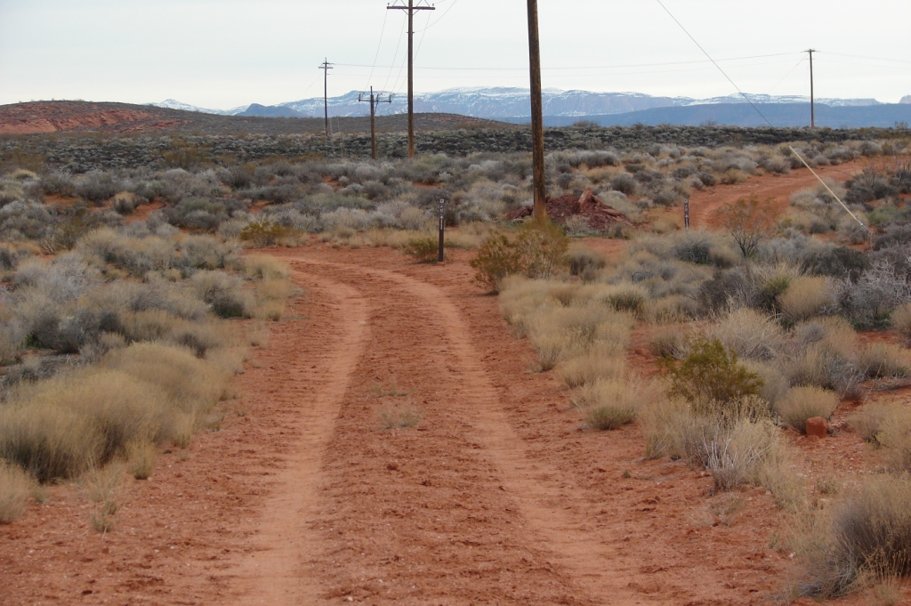
- The Grapevine trail connects with numerous popular trails including this junction with the Prospector trail which accesses Church Rocks and other desired locations.
-
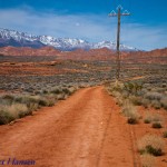
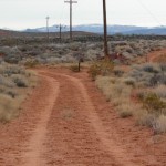
- Although the Grapevine trail has little intrinsic scenic value, distant cliff faces and mountains offer the visitors beautiful background scenery common to the Reserve.
-
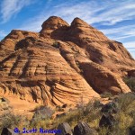
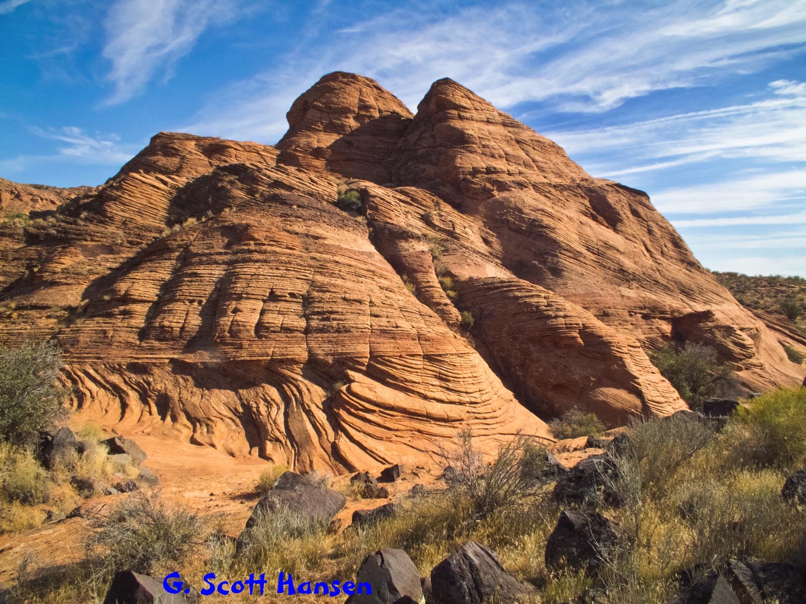
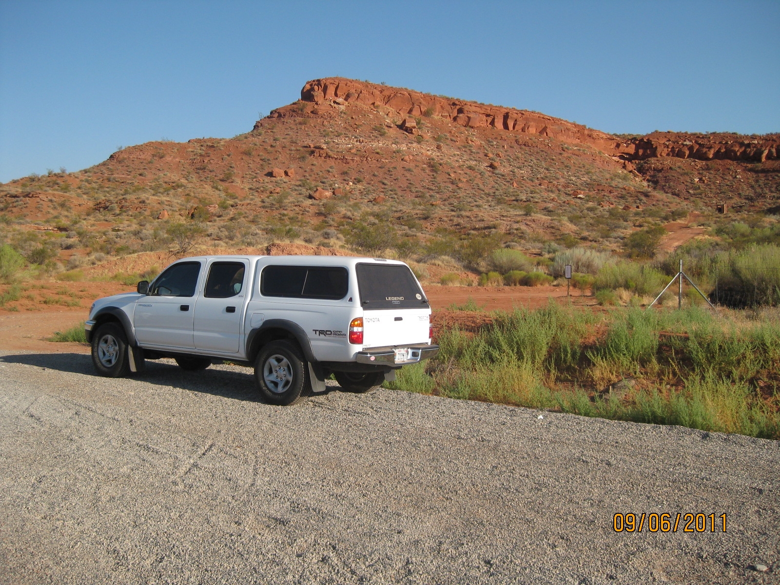
- Grapevine trail terminates on the north, just shy of this beautiful red rock formation.