Bracken’s Loop
Approximately 5 miles in length, the Bracken’s Loop trail is a popular equestrian trail with good hiking and very spotty options for biking due to large segments of soft sand. It is most often accessed by hikers from the Grapevine trailhead and the Grapevine trail which is a flat, gently sloping trail throughout its length. Total distance from the trailhead through the return segment on the Prospector trail is about 7 ½ miles. Views from Grapevine to the north are superb and show much of the red and white sandstone cliffs for which southern Utah is renowned. The Loop trail breaks off from the Grapevine segment about 1 ¾ miles from the parking area and drops down to parallel the Grapevine Wash. Some hikers choose to follow the wash part way to avoid the soft sand above the banks. The trail then winds through exceptional canyon country at the base of red peaks that form the southern border of the Cottonwood Canyon wilderness area. Spectacular rock formations are found throughout the northern portions of the loop and to the south near the Church Rocks formation. On the northeast corner of the Loop visitors will want to enjoy two exceptional overlooks between cliff-rock faces that open up remarkable views of the valley, peaks, and panoramas to the east including the Cottonwood Canyon and LaVerkin Black Ridge wilderness areas and portions of Zion National Park. One of the overlooks includes a memorial to John Rex, former president of the Southwest Utah Chapter of the Back County Horsemen, who was instrumental in developing public use plans for the Red Cliffs Desert Reserve. The southern end of the Loop connects with the Prospector trail to meet back up with the Grapevine trail on the return to the Grapevine trailhead. Some equestrians choose to access the Loop from the east via the Coachwhip, Cottonwood Hills, Spanish Wash, and/or Prospector trails out of the Cottonwood, Red Cliffs, or White Reef trailheads for a much longer riding experience. Hikers will find the Loop to be moderately to strenuously difficult due to soft sand in places and 1500 feet of up and down total elevation change. Hikers generally prefer to hike the Loop in a clockwise fashion to minimize the joint impact of slopes and sand. Bikers will prefer the southern and eastern portions which provide a firmer substrate. Bikes are not recommended in the northern portion because of the preponderance of soft sand. The trail lies entirely on lands administered by SITLA.
-
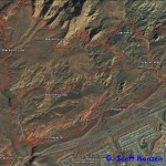
- Bracken’s Loop map including adjoining trails
-
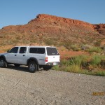
- Parking area for Grapevine trail lies off Exit 13 of I-15
-
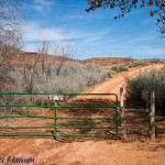
- Grapevine trailhead lies 1/4 mile North of the parking area
-
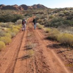
- Grapevine trail leads to Bracken’s Loop 1.5 miles North of trailhead
-
- Bracken’s Loop breaks off from the Grapevine trail and parallels the wash below
-
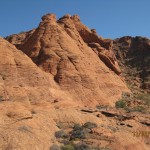
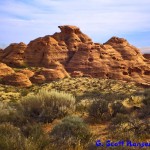
- Massive red rock formation lies ahead of the start of the loop
-
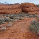
- Trail initially consists of a single track trail above Grapevine Wash
-
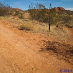
- In places the trail consists of deep soft sand churned by equestrian use
-
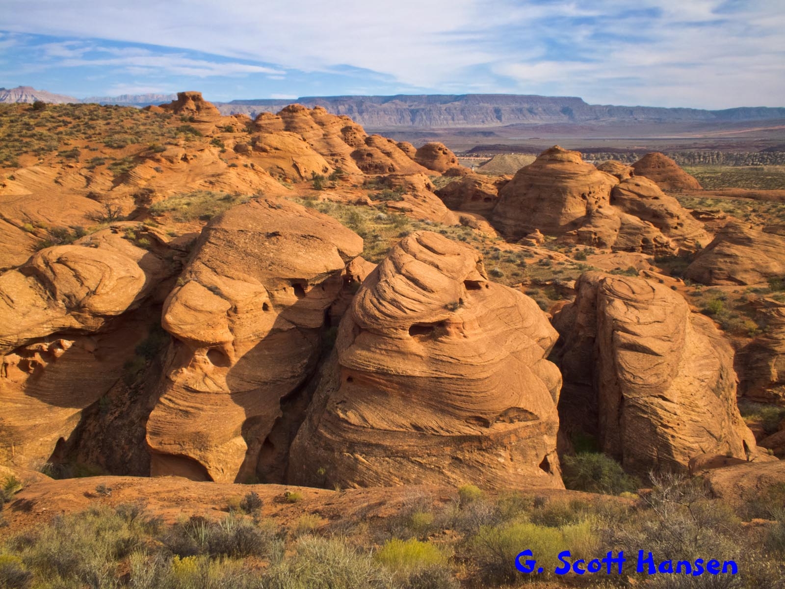
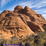
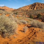
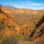
- Spectacular red rock formations exist along the boundary of the Cottonwood Canyon wilderness area
-
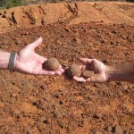
- Unique sandstone “moki marbles” can be found in several places along the trail
-
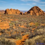
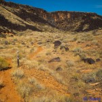
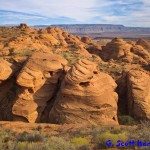
- These red rock formations lie on the east boundary of the loop
-
- This spectacular overlook is the first of two located on the east boundary of the loop
-
- View of these spectacular Church Rocks formations is seen from the south portion of the loop
-
- Giant redrock hoodoos can also be seen from the south loop
-
- The loop is completed on a segment of the Prospector trail shown above