Arch

This popular 1.5 mile trail can be accessed from the Sand Cove trailhead parking area just off the Babylon Road, 3 miles south of its intersection with Main Street in Leeds and 1½ miles from the Reserve’s north boundary. From the stepover at the parking area, hike the Flicker trail for 0.2 miles and follow the jeep road to the right another 0.4 miles to the primitive Sand Cove camp area. High clearance vehicles with 4WD capability can be driven right to the camp area on the jeep road coming out of the trailhead and parked at an appropriate location in the Cove. A trail sign marks the beginning of the Arch trail which winds through a rocky drainage with delightful red rock formations and a few sandy sections. About 1 mile down the trail, visitors will find a small but beautiful stand-alone arch that is a popular photo site. Another half mile will take visitors down to the Virgin River where the trail ends. A short, steep slope with deep sand immediately north of the arch can be challenging to some hikers returning to the parking area, especially in hot, dry summer months. An unsigned, alternate return route exists about 20 yards east of the arch that allows a more gradual climb through partly sandy soils to get back up to the main trail back to the start. Otherwise, the Arch trail is only moderately difficult in places and is suitable for most families. Total up and down elevation change from end to end is about 420 feet. No strollers, of course. The trail lies across lands administered by the BLM in the Red Cliffs NCA.
-
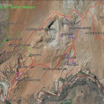
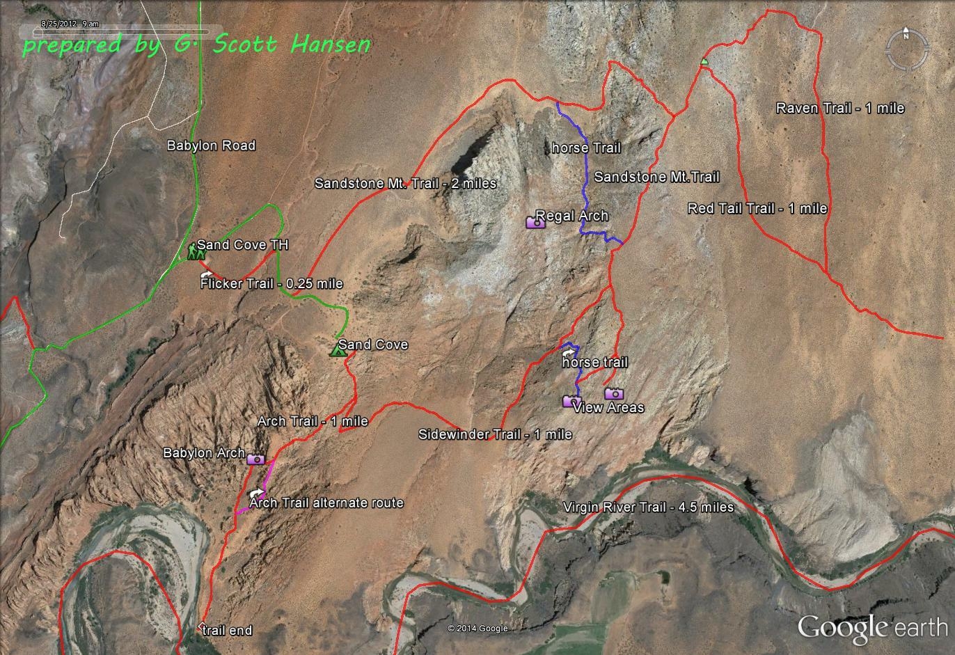
- The Sandstone Area map shows the Sand Cove access trail and all linkages to adjoining trails in the Sandstone Mountain complex.
-
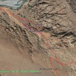
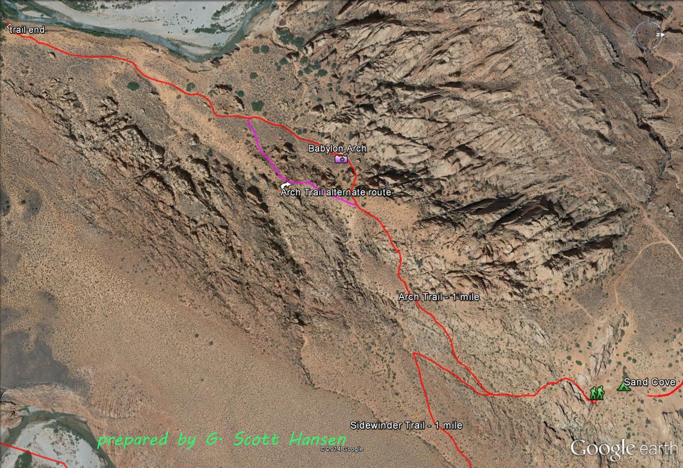
- Arch trail overview
-
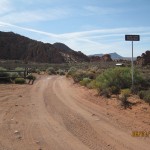
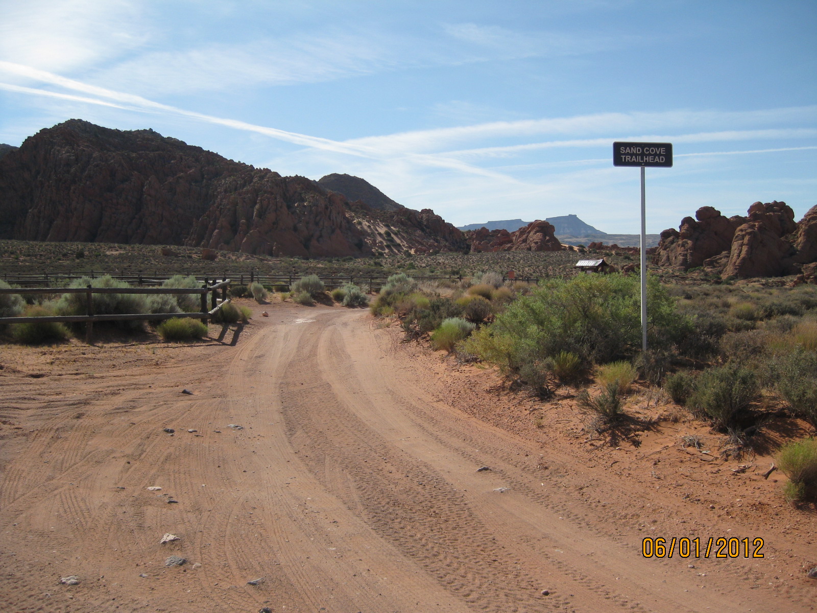
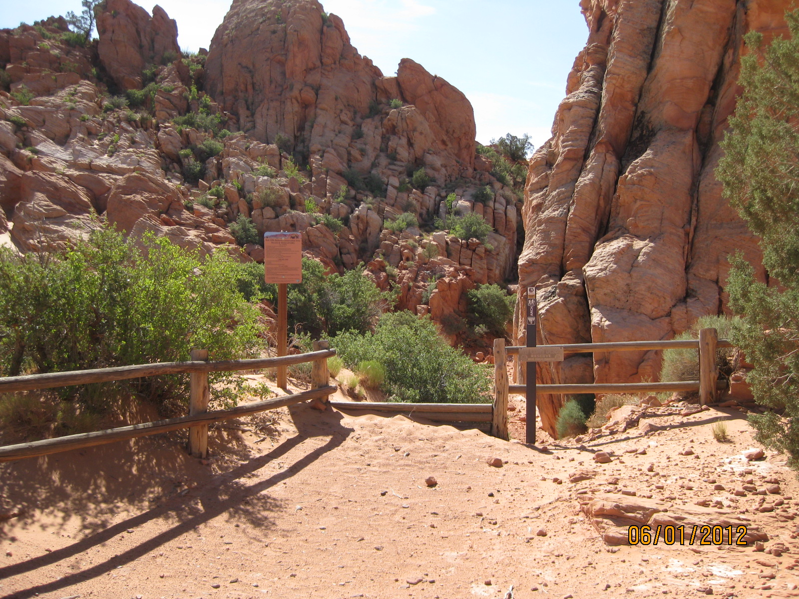
- Many visitors park at the Sand Cove trailhead right off the Babylon Road
-
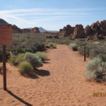
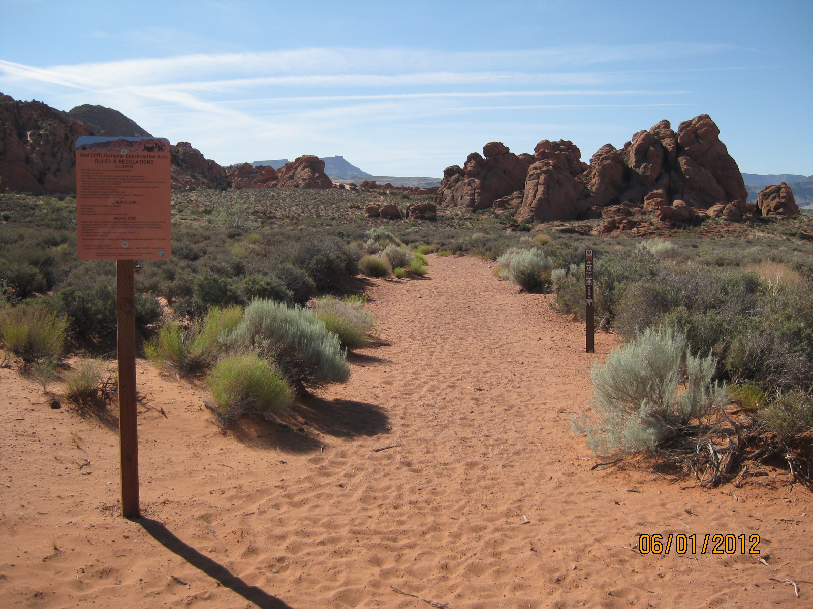
- From the Sand Cove trailhead area, visitors hike the Flicker trail to reach the Sand Cove camp
-
- From the Flicker trail, visitors hike the Sand Cove access road to the Sand Cove camp and start of the Arch trail
-

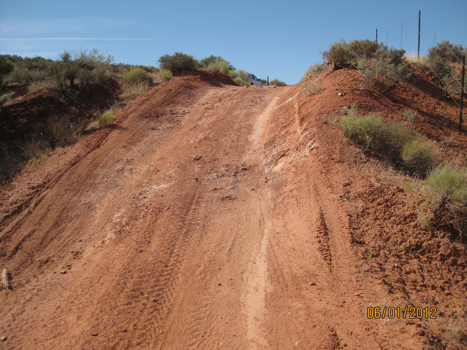
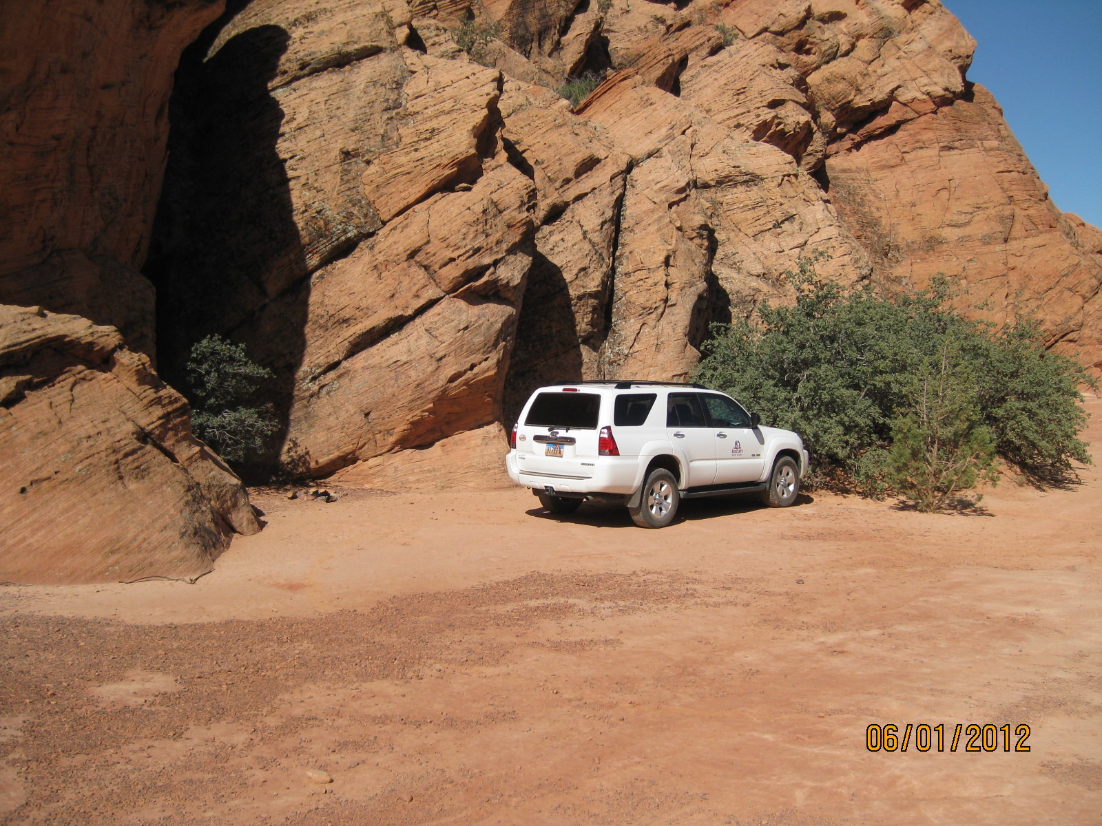
- Visitors with high clearance 4WD may drive directly to the Sand Cove camp parking area
-
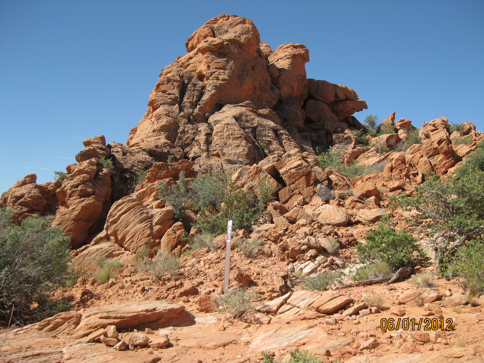
- The trail begins at this step-over at the southeast corner of the Sand Cove camp area
-
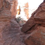
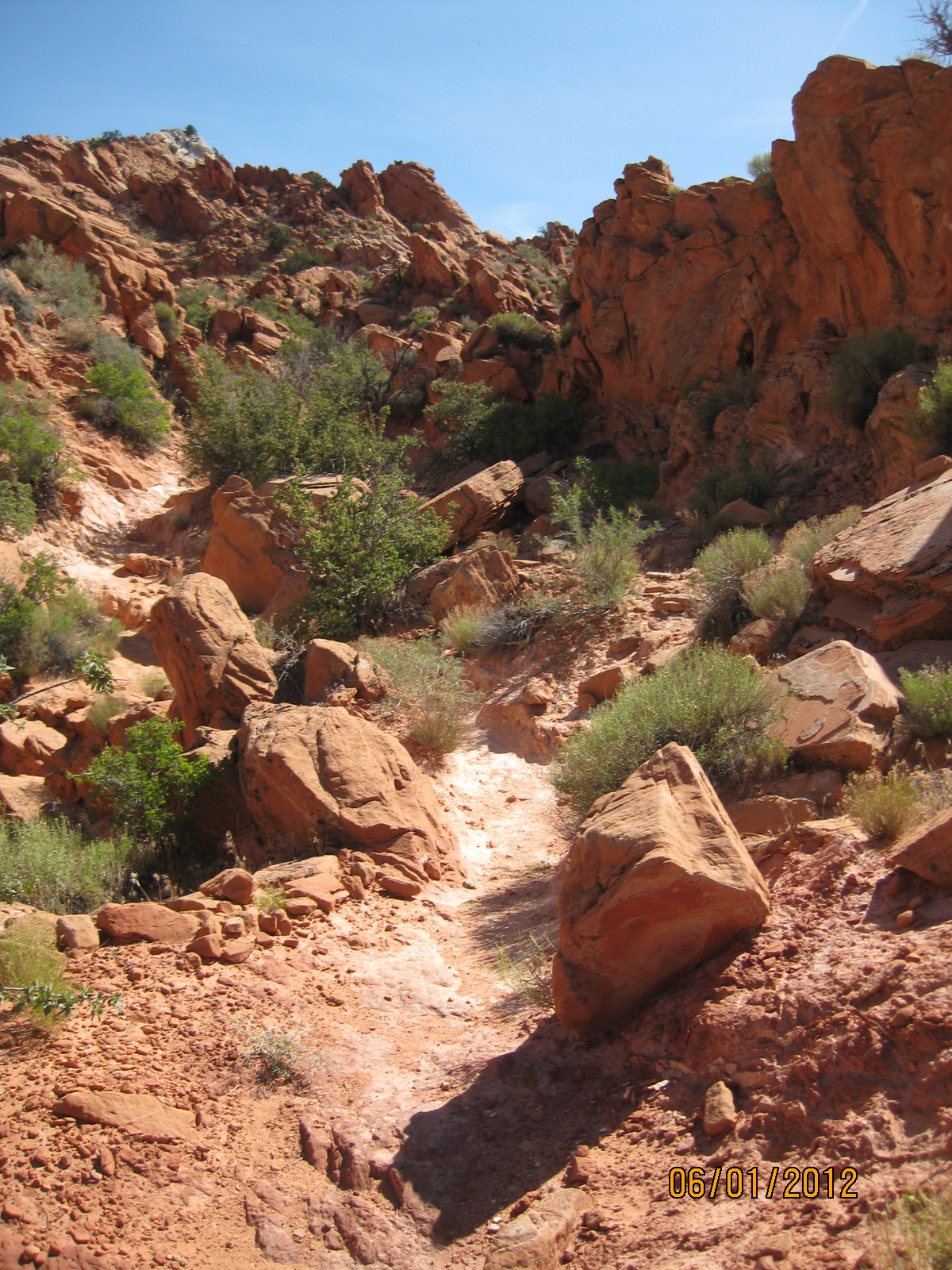
- Immediately after the step-over visitors can enjoy a small slot canyon along with other interesting trail segments
-
- This sand slope is a fun play area for families hiking the trail
-
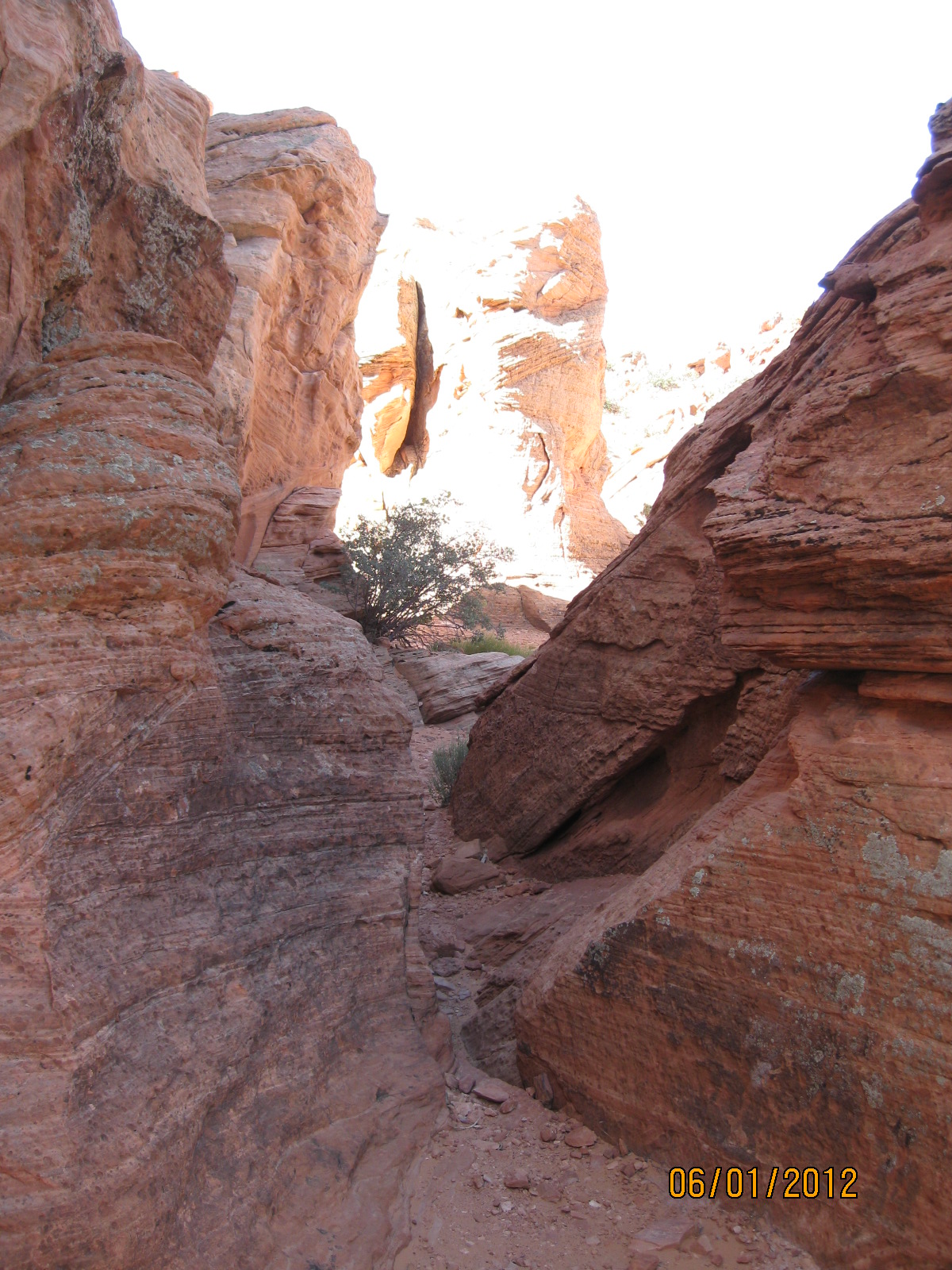
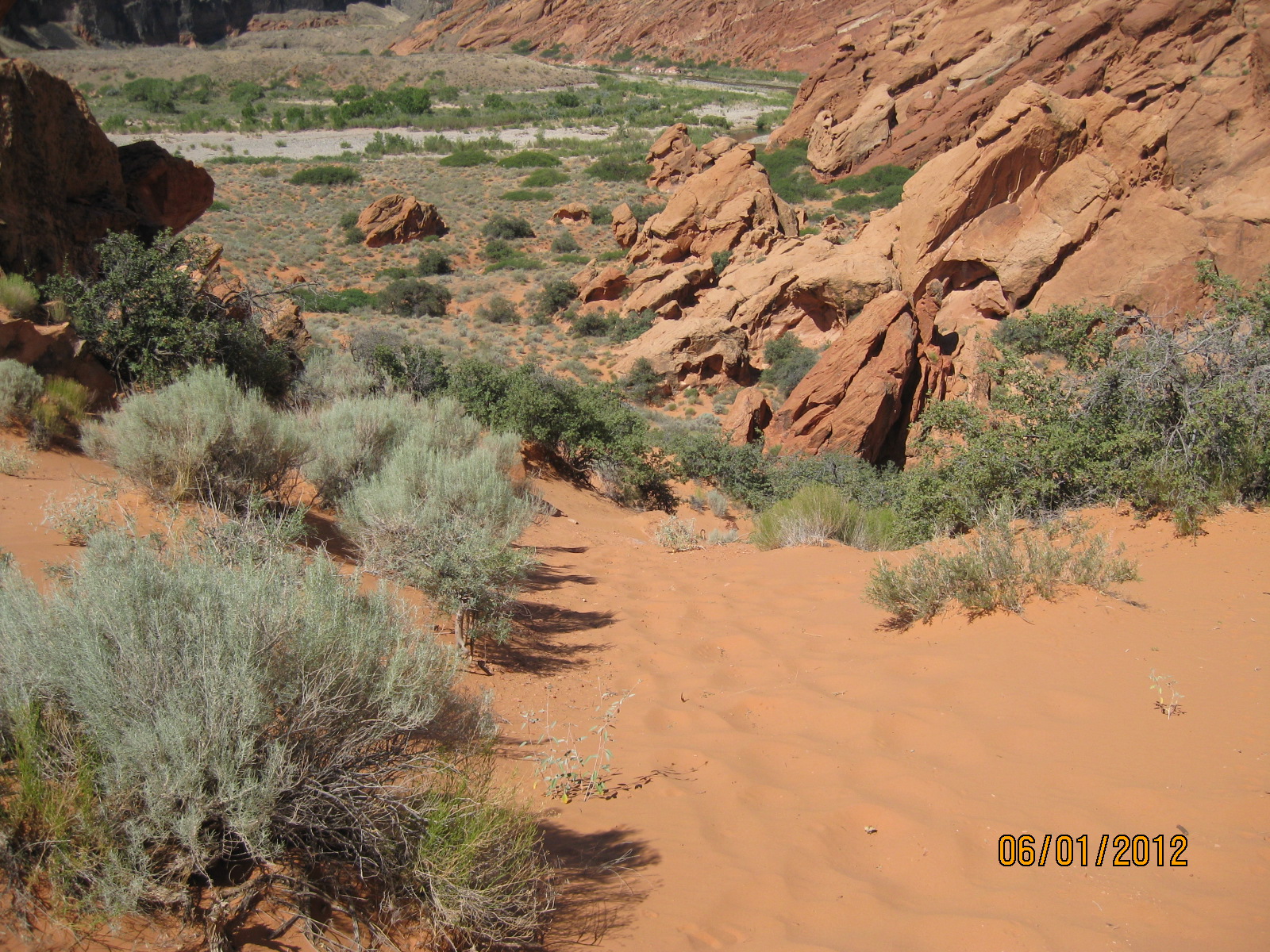
- Numerous sandstone formations along the trail provide a wonderful experience for hikers and equestrians alike
-

- Portions of the trail have a hard pan surface
-
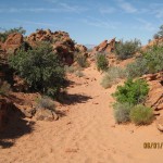
- Other portions of the trail are composed of soft sand

-
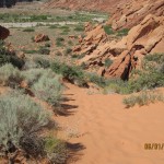
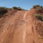
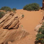
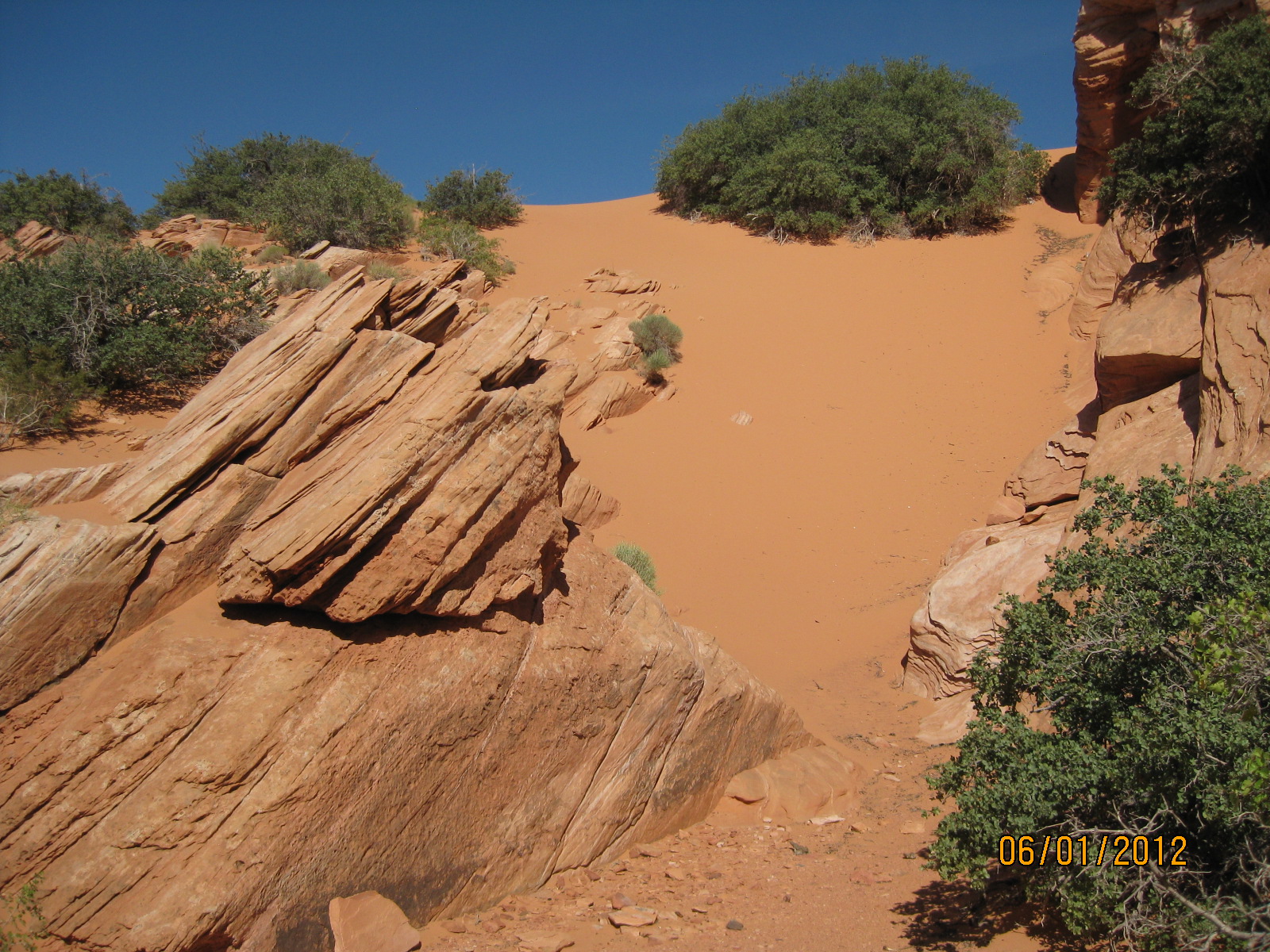
- Shortly before the arch, the trail drops down a steep slope with very deep sand. Fun to go down, not so much coming back up.
-

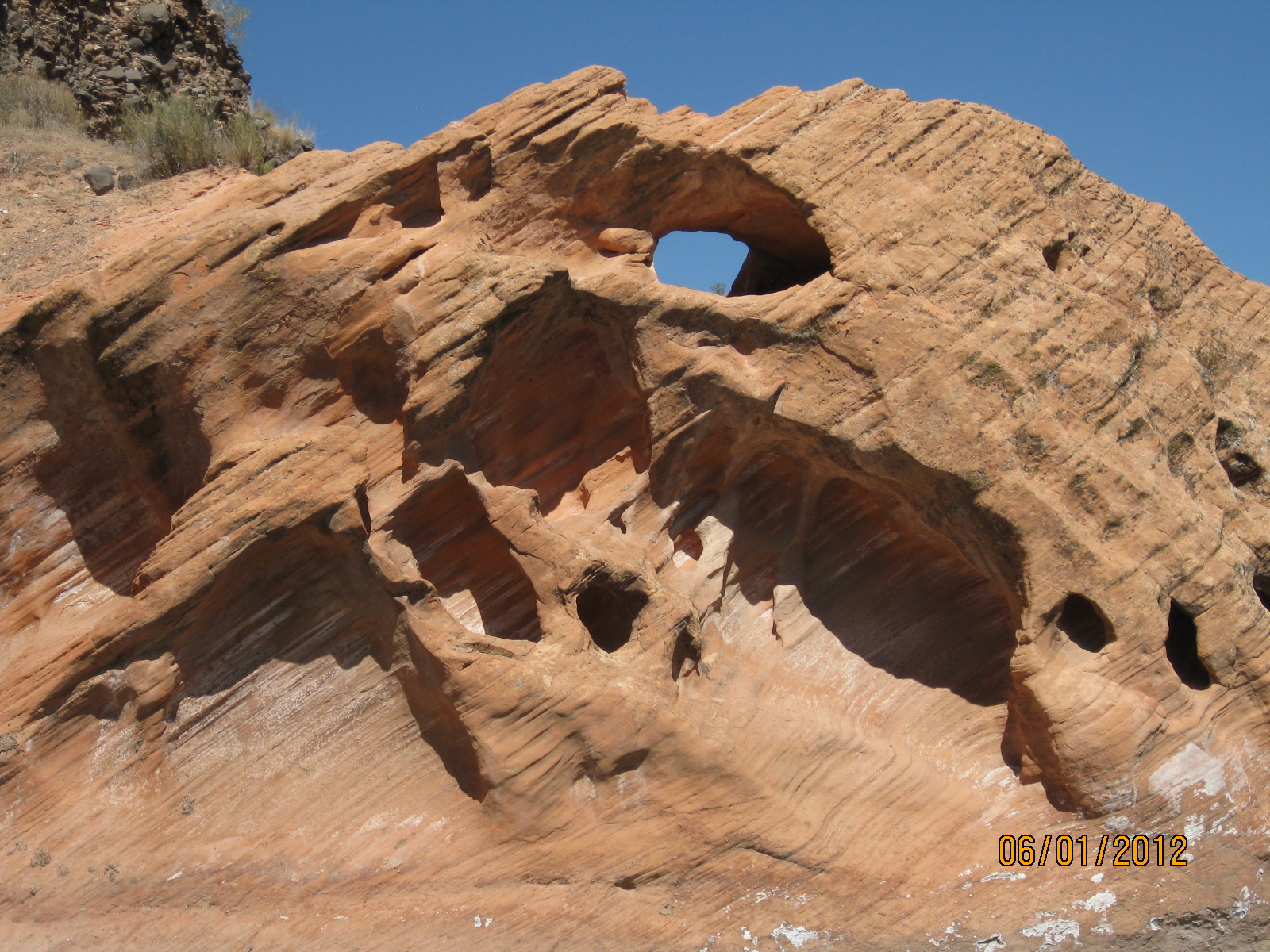
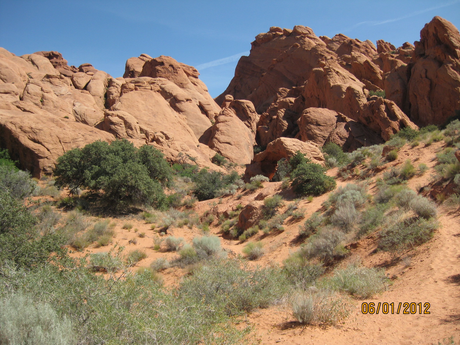
- The trail runs under a spectacular free-standing arch
-
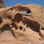
- Visitors who wish to explore the area around the arch will find many other smaller arches of interest
-
- The trail dead ends at the Virgin River where hikers can travel along unmarked routes to enjoy the river environment

-
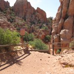
- A short ways south of the arch, visitors can find this user trail that provides a more gradual slope to get back to the upper area en route to the start
BLM recreation website on Arch trail